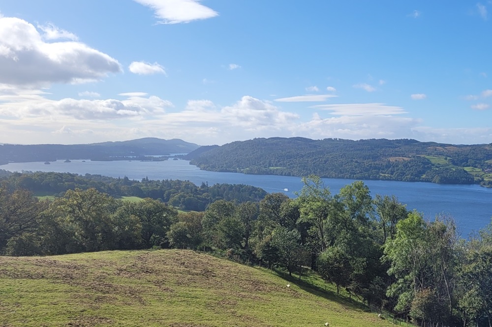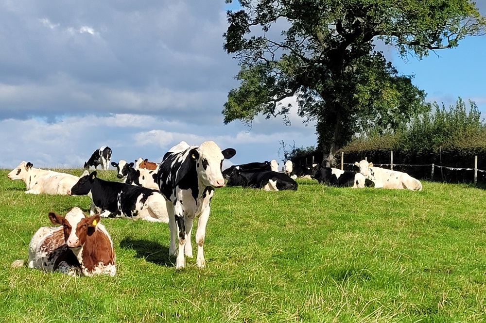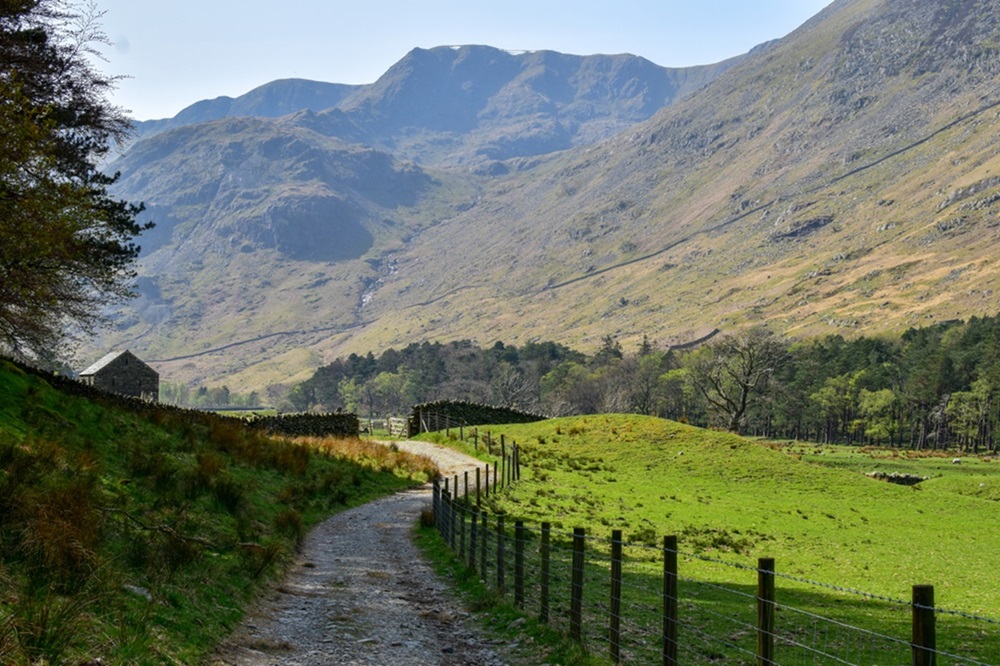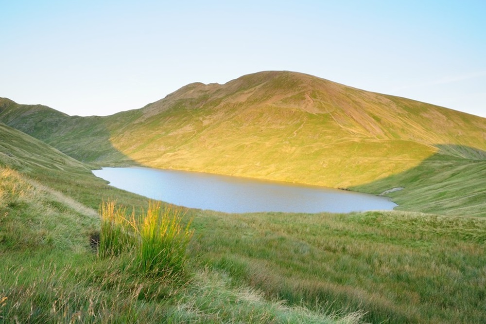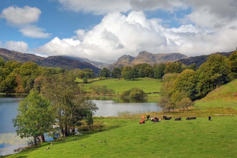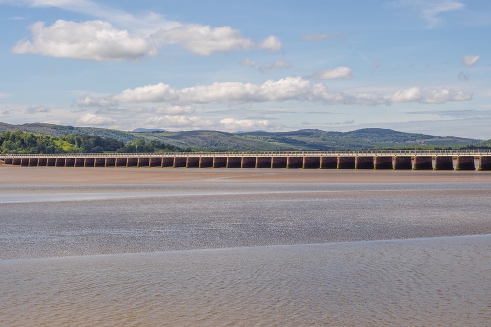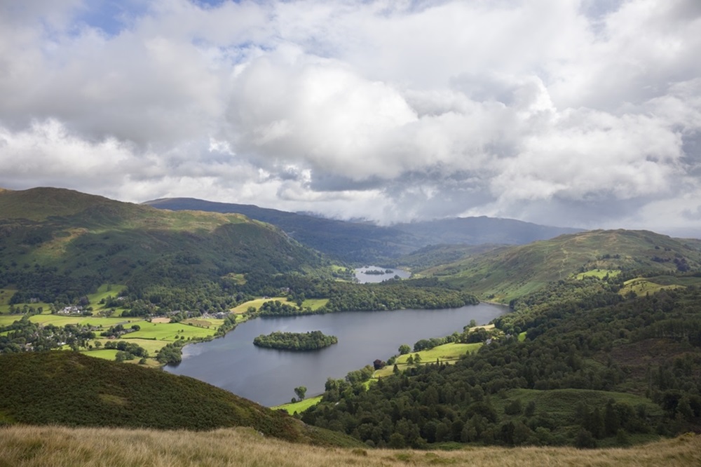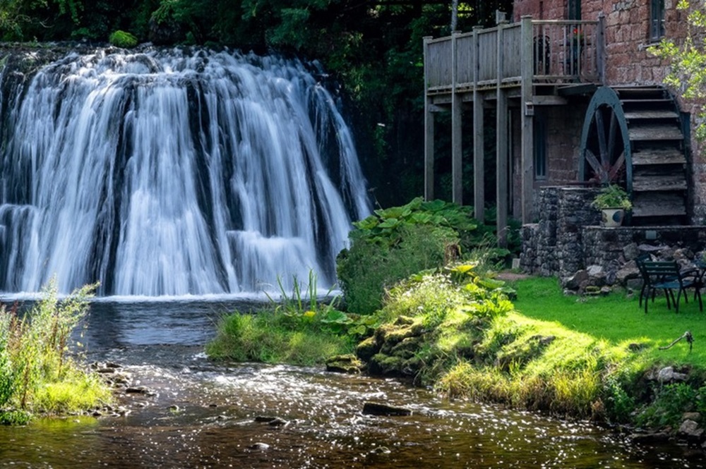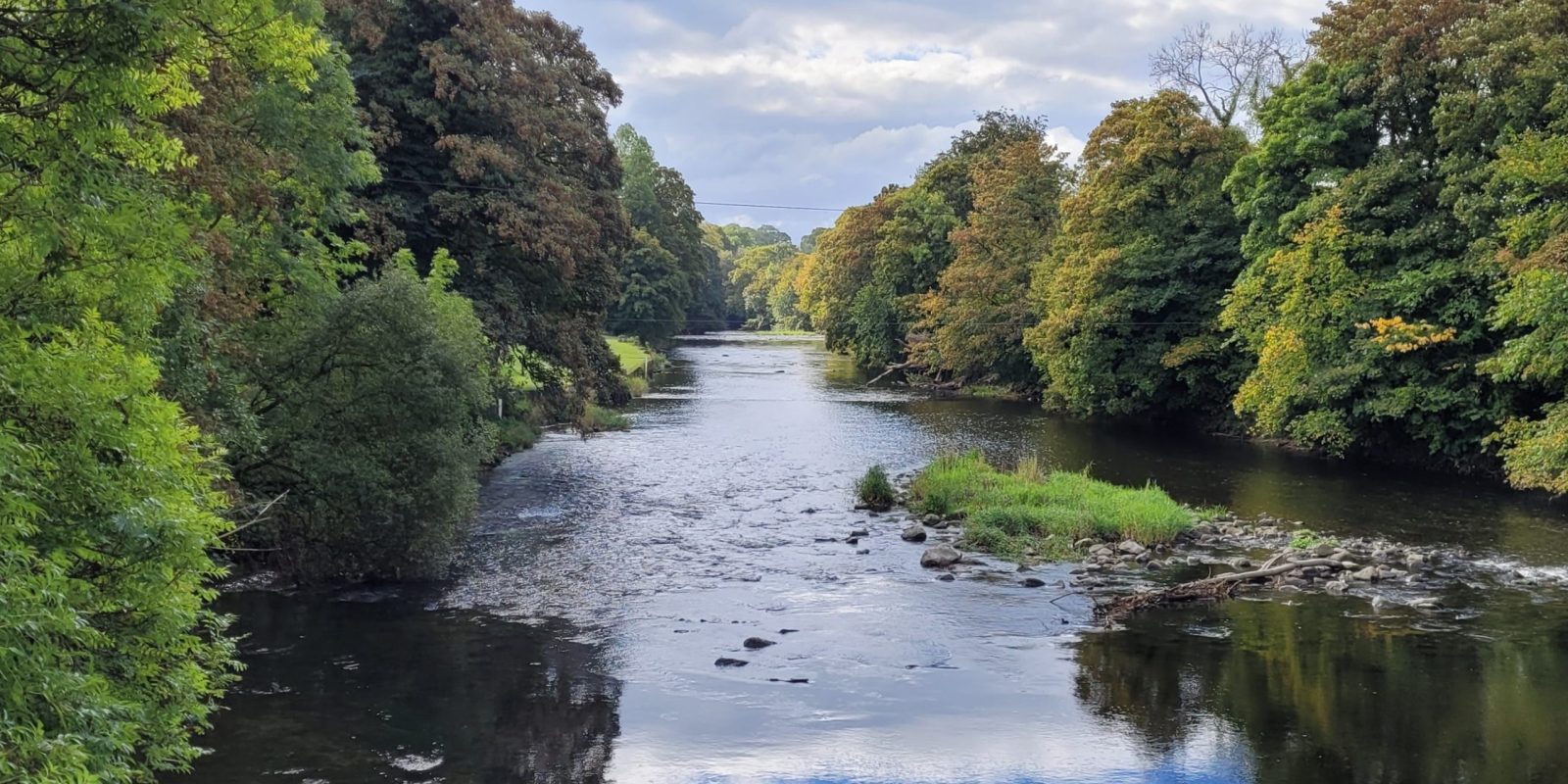
The Westmorland Way is a 95 mile journey through the enchanting landscapes of south-east Cumbria. Beginning in Appleby, a charming market town nestled beneath the Pennine hills, the route follows historic paths westward through the picturesque Eden Valley and into the Lake District National Park. Highlights include the shimmering waters of Ullswater, Grasmere, and Windermere, as well as the pretty villages of Pooley Bridge and Patterdale, and the bustling town of Kendal. The walk continues through the heart of the former county of Westmorland, concluding at Arnside, a peaceful seaside village on the shores of Morecambe Bay.
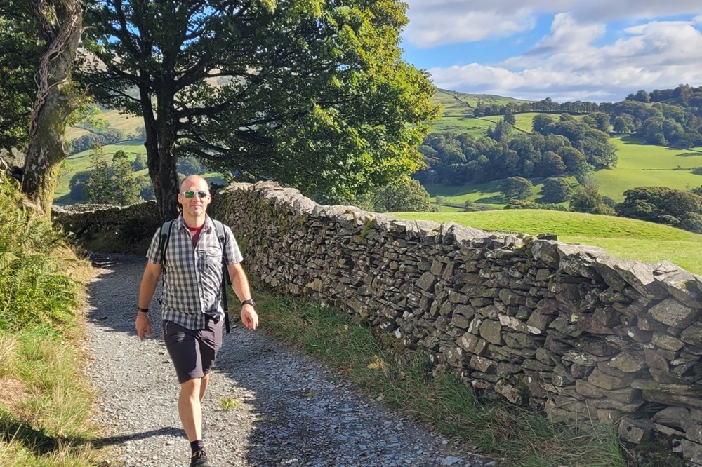
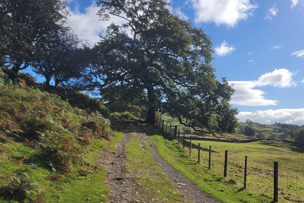
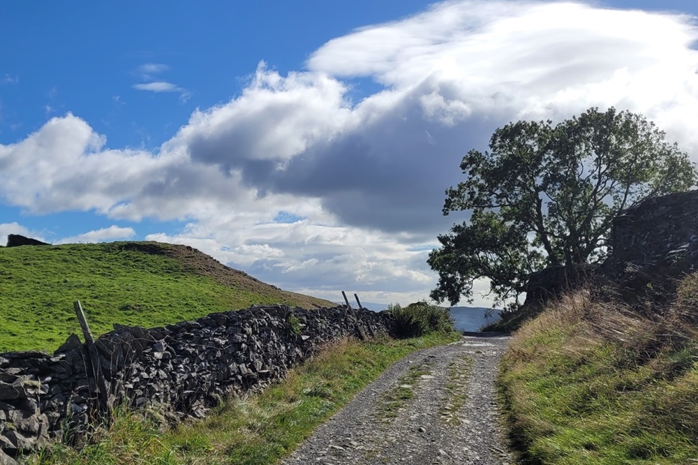
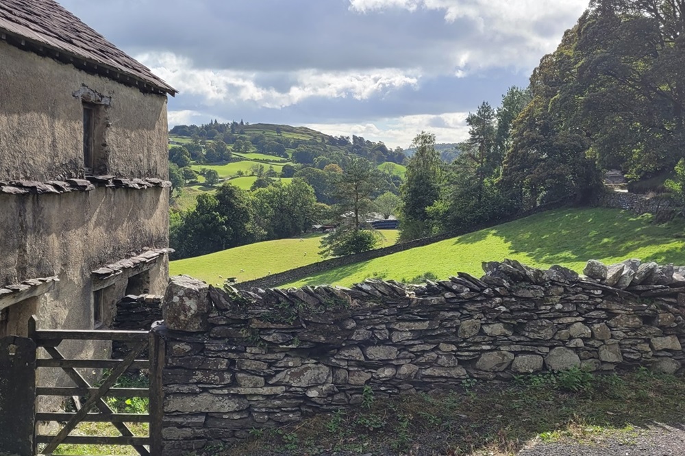
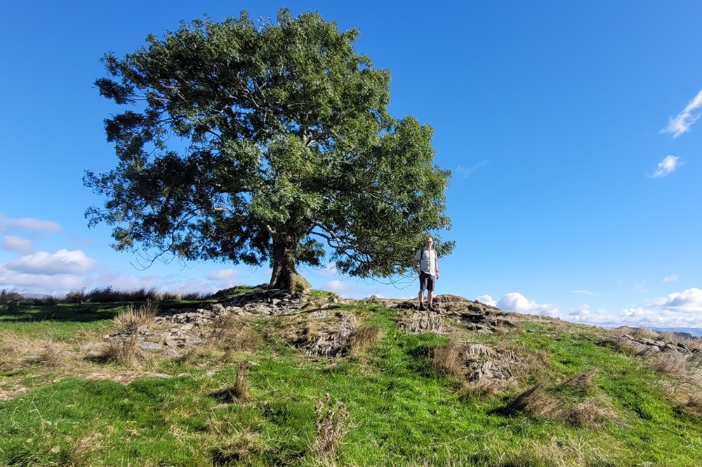
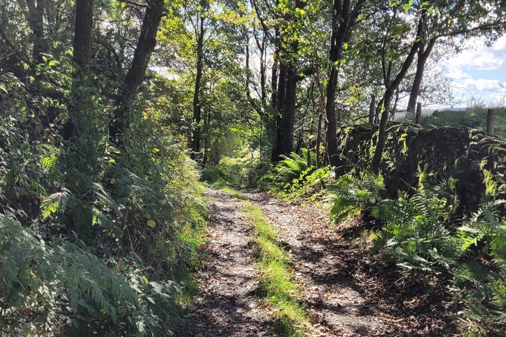
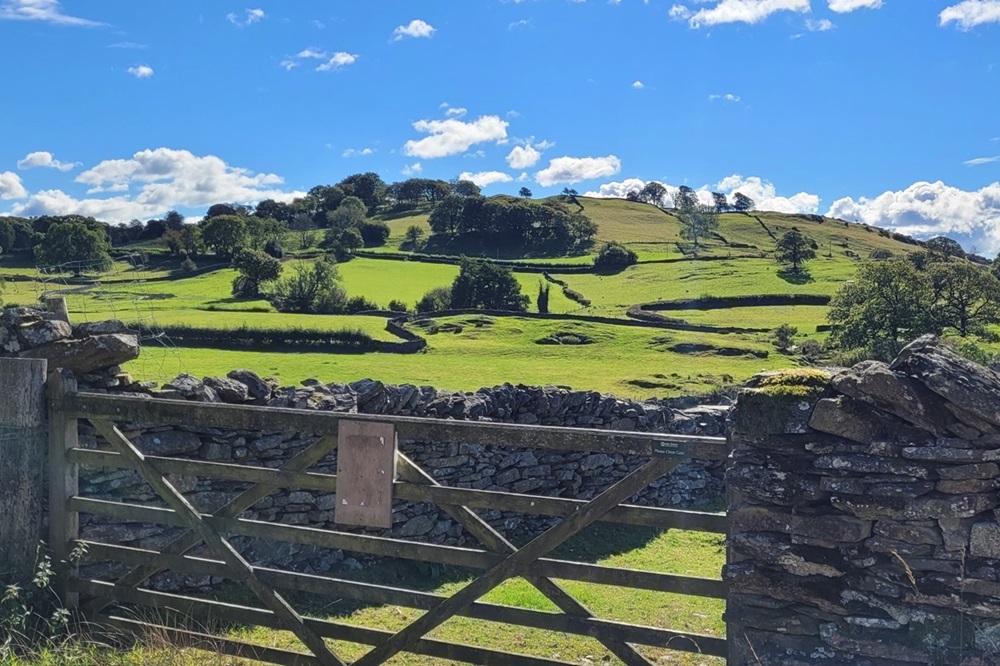
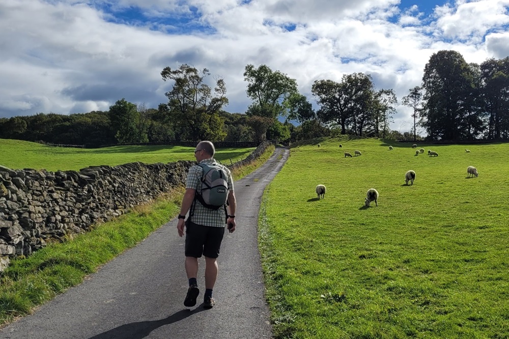
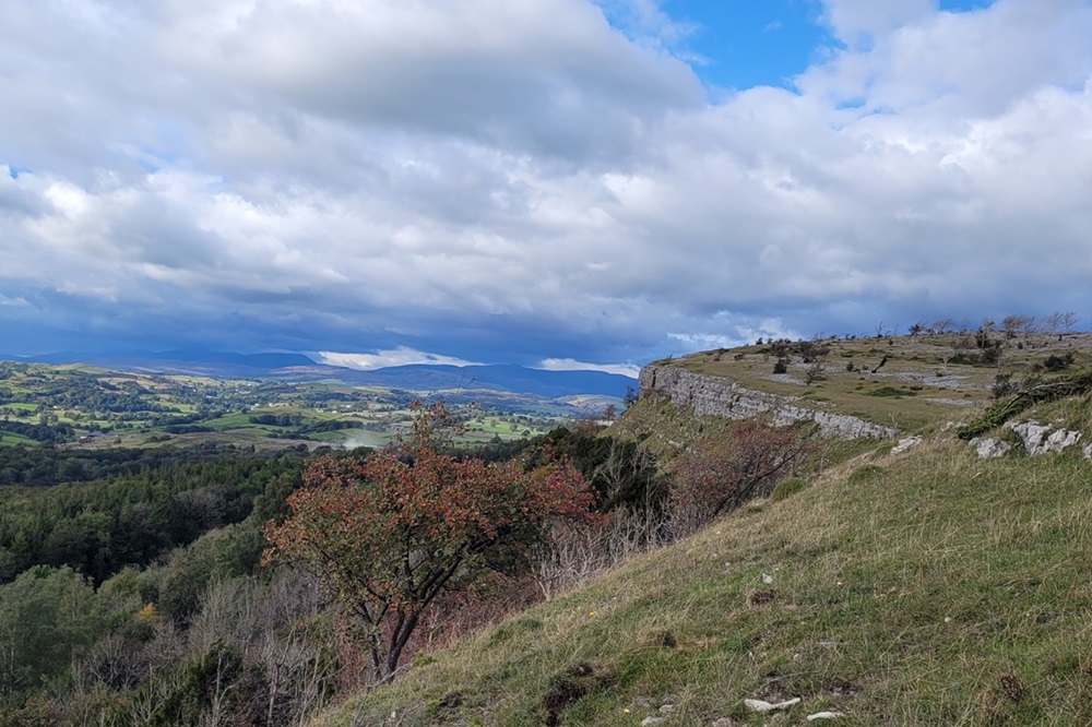
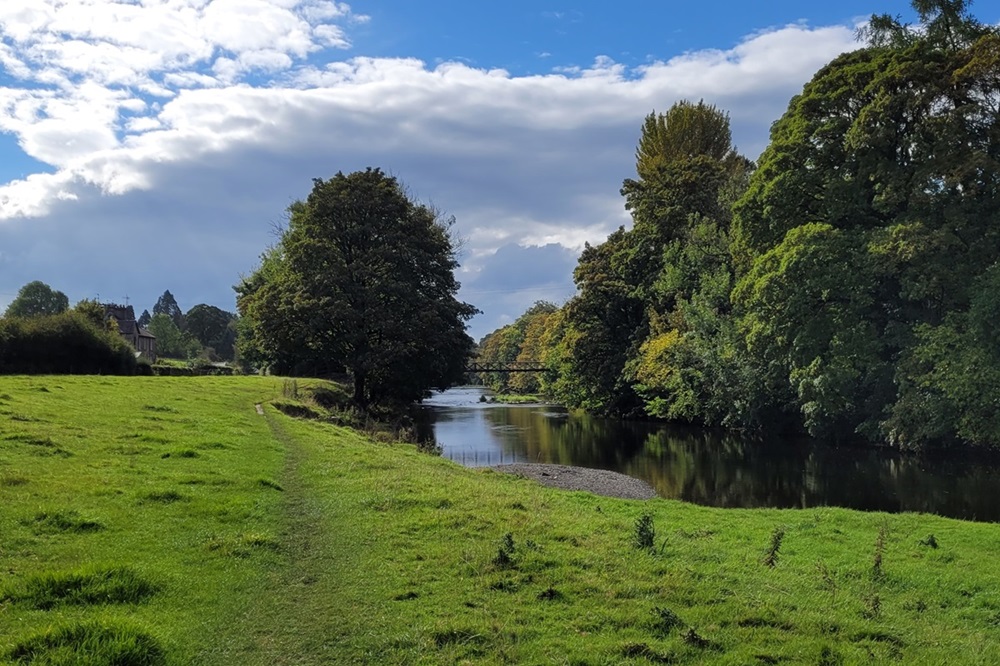
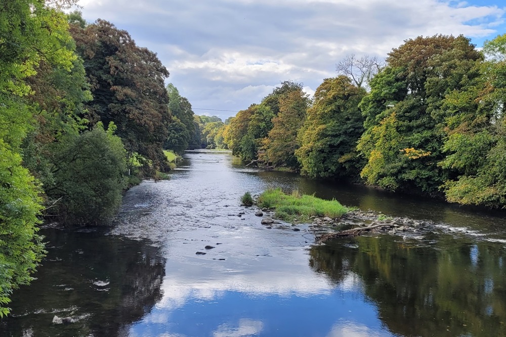
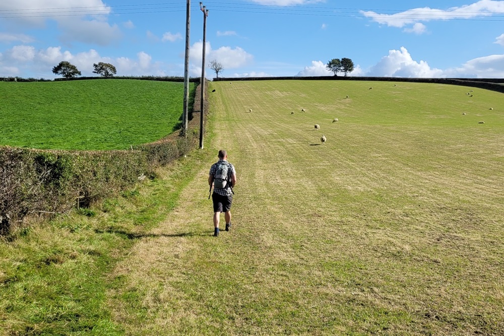
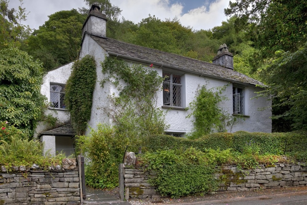
This captivating trail leads you through some of Lakeland’s most varied and scenic landscapes, from tranquil valleys and ancient woodlands to rolling hills and picturesque villages. Along the way, discover historical landmarks such as Keld Chapel, Shap Abbey, and Dove Cottage, the former home of William Wordsworth. The route also offers breathtaking panoramas, and spectacular viewpoints like the impressive Scout Scar, where far-reaching views extend across the Lyth Valley, Morecambe Bay, and the distant Lakeland fells. With easy-to-follow paths and moderate gradients, the Westmorland Way is accessible to all relatively fit walkers seeking a peaceful alternative to busier Lake District routes.
Whether you’re drawn by the dramatic fells, the region’s fascinating history, or the appeal of quiet countryside, the Westmorland Way offers an unforgettable exploration of one of England’s most beautiful and historically rich landscapes.

Our Holidays
Why do this walk?
Westmorland Way
Appleby to Arnside 94 miles/150 km
We offer 3 itineraries along the full length of the Westmorland Way. Follow tranquil riverside paths, cross rolling farmland, and wander through picturesque villages. Along the way, take in breathtaking views over Ullswater and Windermere, explore historic landmarks, and enjoy the quiet beauty of this lesser-travelled route.
| Code | Length | Average per day | Price range | |
|---|---|---|---|---|
| WW8 | 13 miles/21 km | £1134 – £1358 | ||
| WW9 | 12 miles/19 km | £1215 – £1471 | ||
| WW10 | 10 miles/16 km | £1348 – £1636 |
Best of the Westmorland Way: Pooley Bridge to Ambleside
Pooley Bridge to Ambleside 28 miles/45 km
Spend 3 days walking the most dramatic and interesting section of the Westmorland Way. A great choice for those with limited holiday time.
| Code | Length | Average per day | Price range | |
|---|---|---|---|---|
| WWH4 | 9 miles/14 km | £669 – £765 |