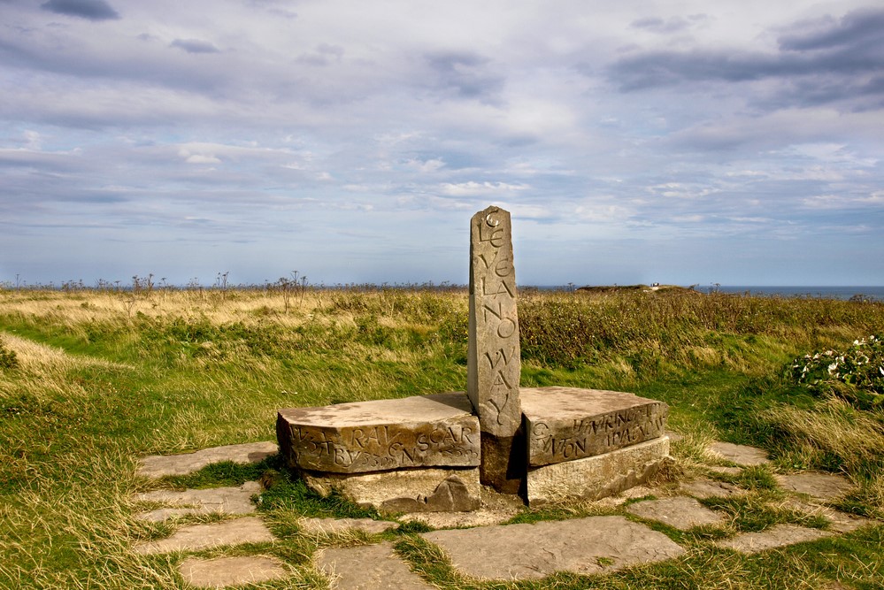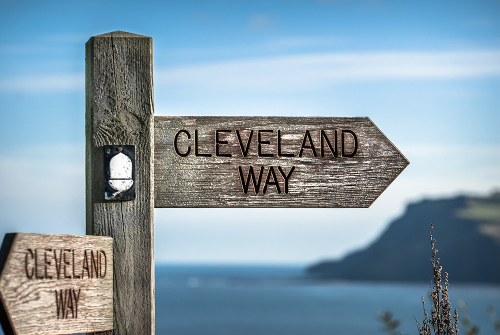
The Cleveland Way, established in 1969, is both an interesting and beautiful path. It stretches for over 100 miles from Helmsley, on the southern edge of the North York Moors National Park, to Filey on the east coast.
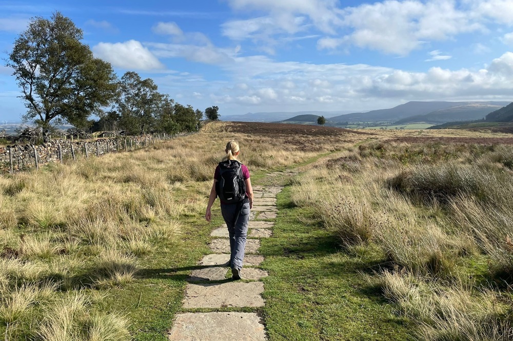
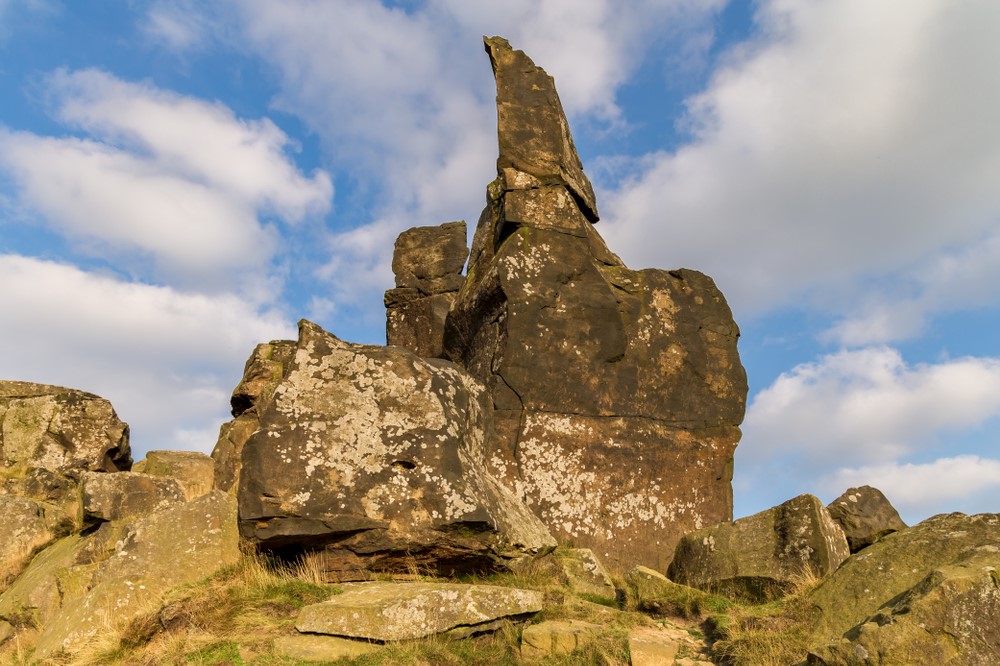
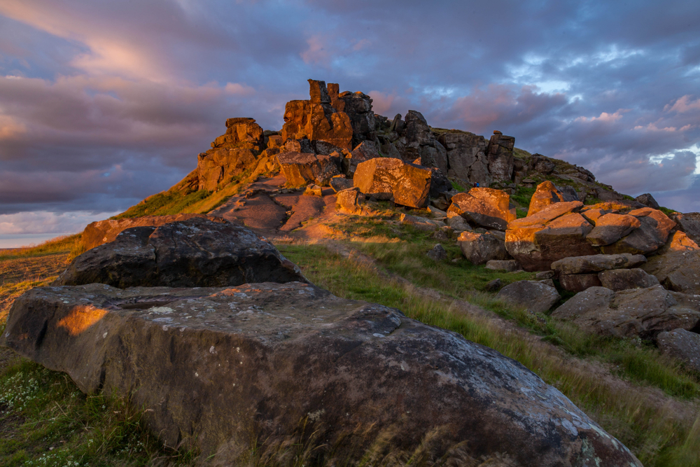
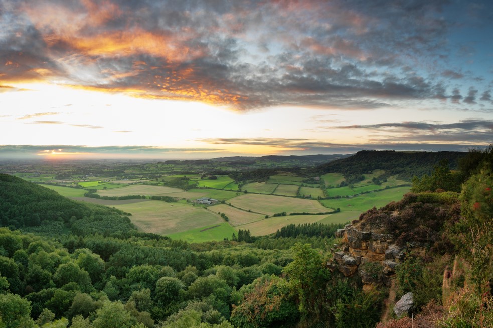
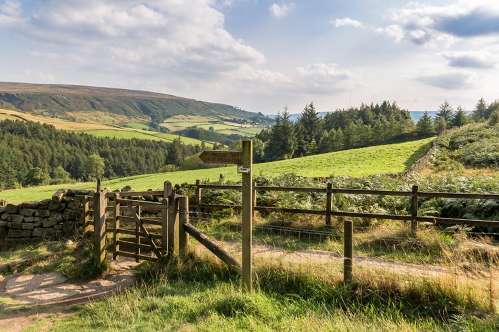
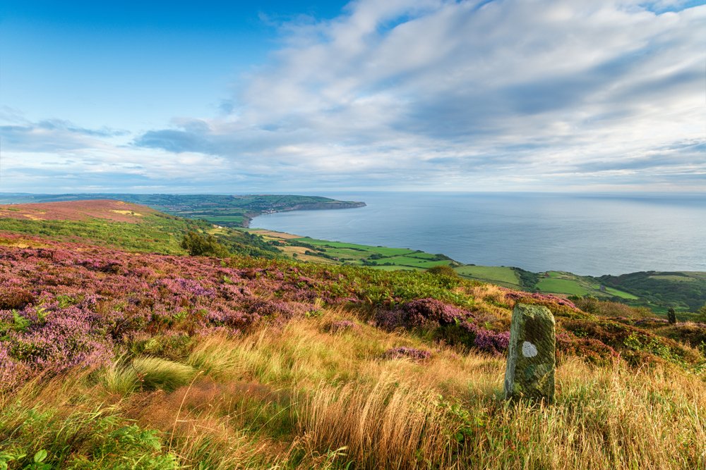
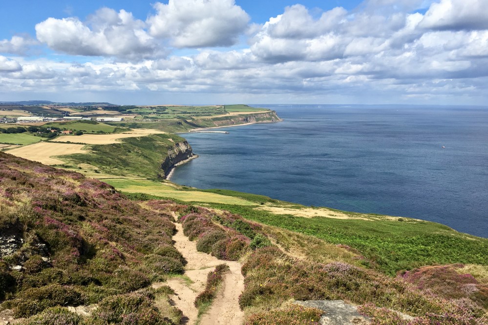
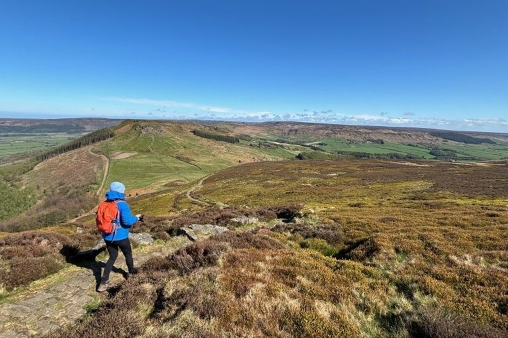
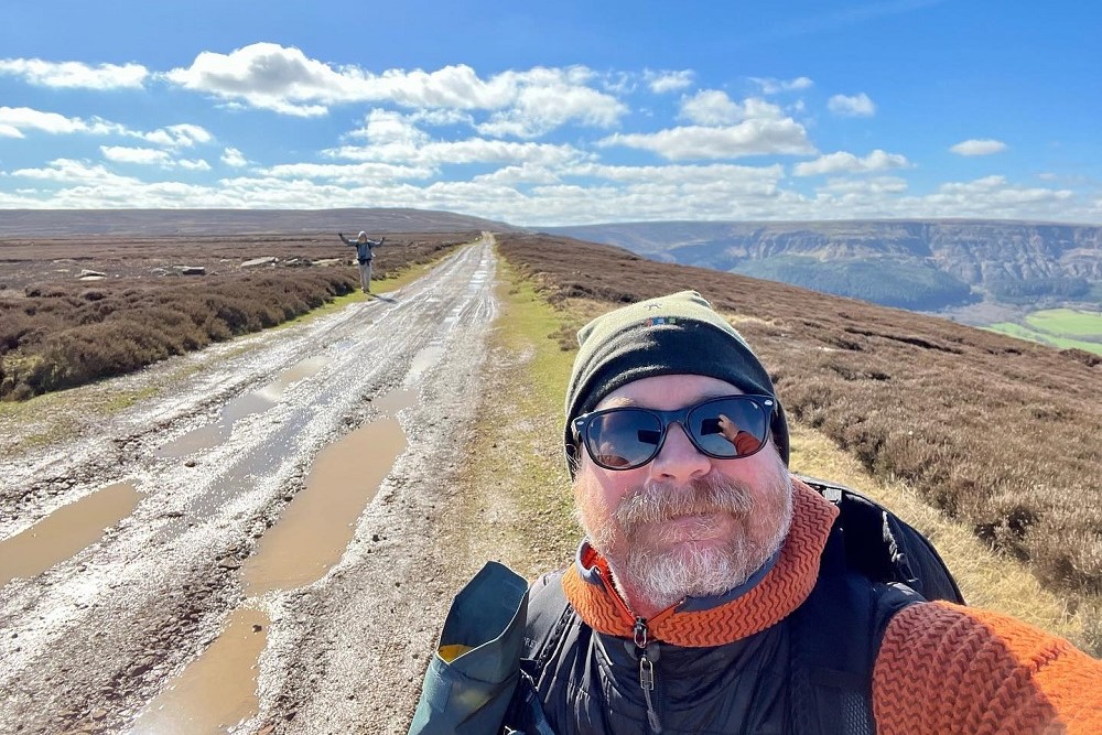
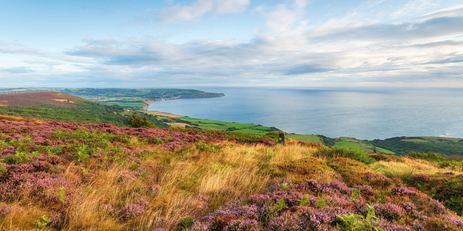
The way passes through two very distinct types of landscape. From Helmsley to Saltburn-by-the-Sea, it traverses classic moorland scenery, through forests and along escarpments, rewarding you with panoramic views over the Cleveland Hills and the rest of the National Park.
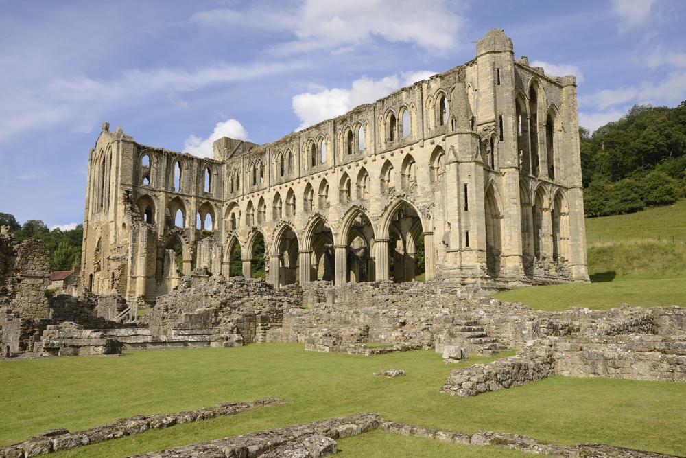
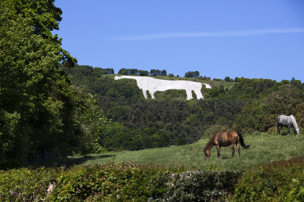
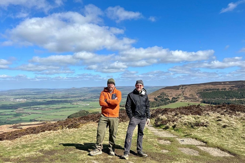
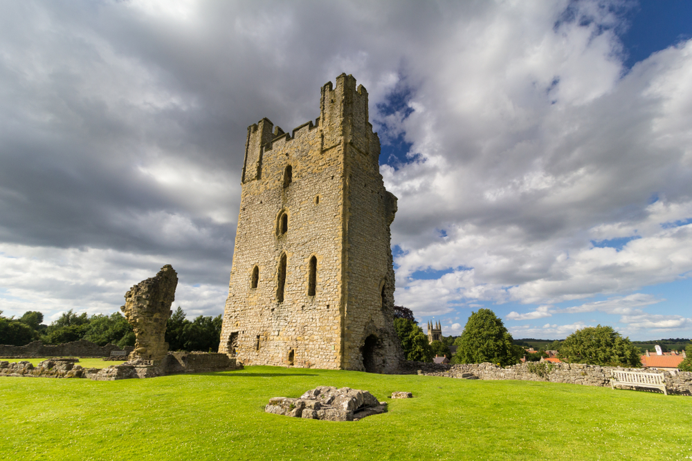
In the beautiful Rye Valley you can marvel at the ruins of Helmsley Castle and the medieval Rievaulx Abbey. Ahead of Sutton Bank take time to view the magnificent Kilburn White Horse. Roseberry Topping, often referred to as the Yorkshire Matterhorn is a wonderful viewpoint. Despite its relatively low height of 1000 feet it is a tremendous place from which to survey the land around you.
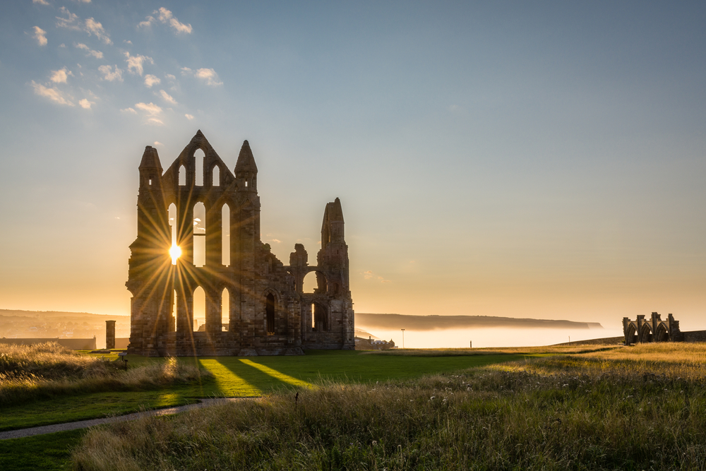
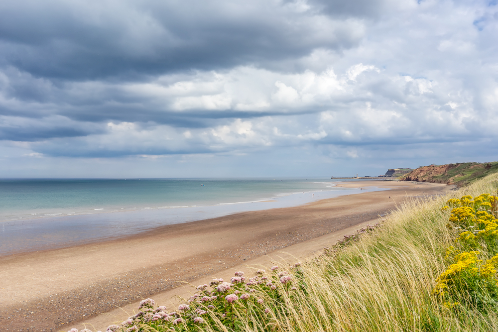
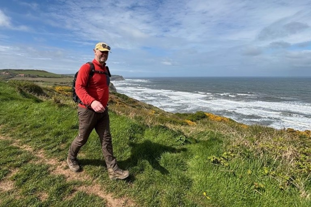
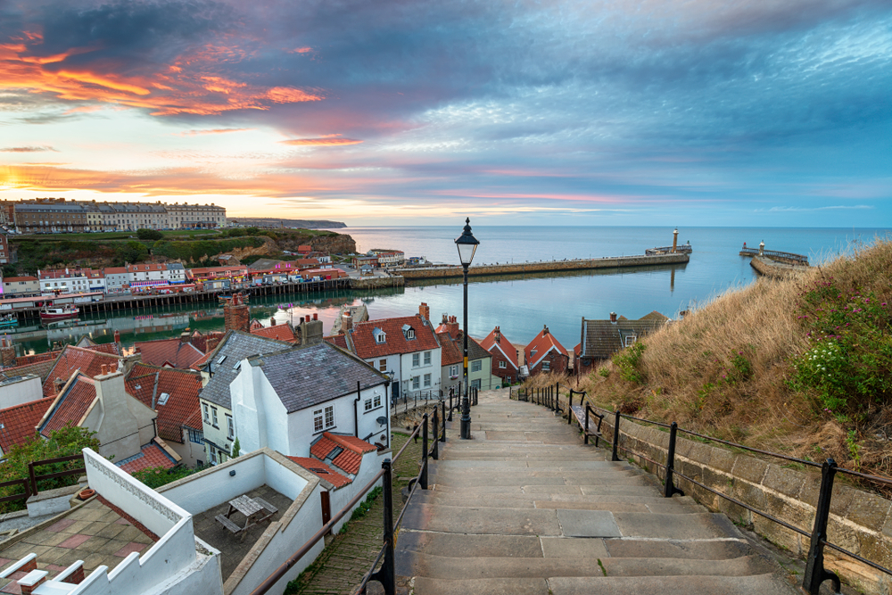
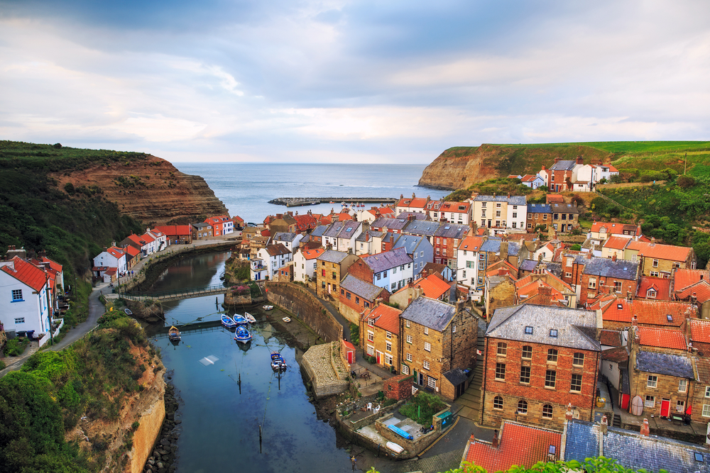
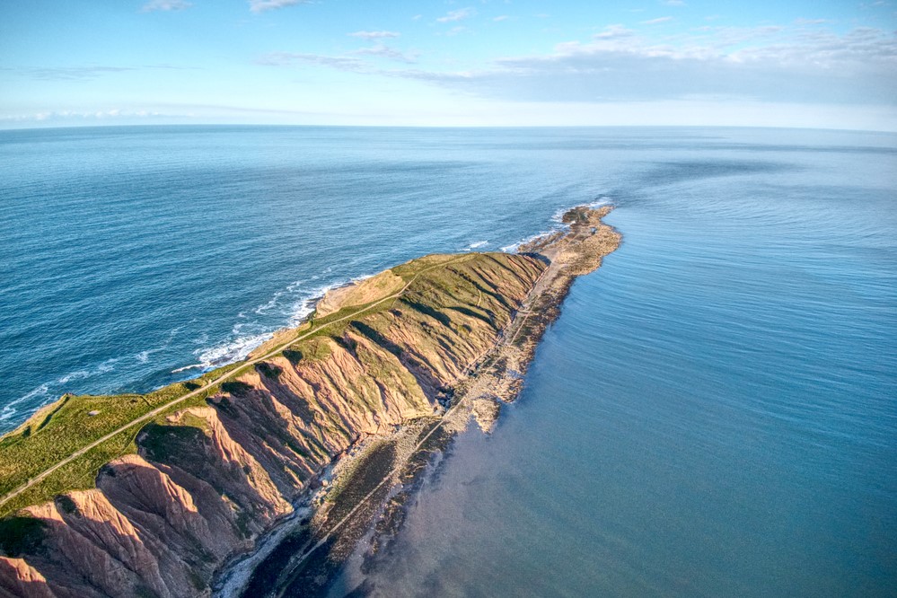
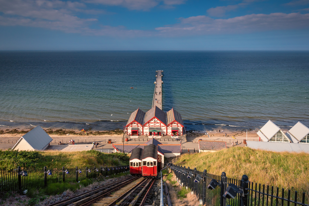
The other half of the route, from Saltburn-by-the-Sea to Filey, follows a dramatic coastline and runs along the top of some of the highest sea cliffs in the country. Whitby, with its fine harbour, fossil-filled cliffs and connections with Bram Stoker’s Dracula is a favourite of many and a visit to the imposing remains of Whitby Abbey is a must. Robin Hood’s Bay, the end point of the Coast to Coast and the seaside towns of Scarborough and Filey complete your coastal journey.
The combination of wild moorland and dramatic coastline make the Cleveland Way an incredibly varied, thoroughly enjoyable and hugely rewarding experience.

Our Holidays
Why do this walk?
Cleveland Way
Helmsley to Filey 107 miles/172 km
We offer 3 itineraries covering the full route. Walk through the heart of the North York Moors and along the breathtaking Yorkshire coastline. From peaceful heather-clad moors to dramatic clifftop paths, this trail offers a rich mix of landscapes. Our 9 day itinerary can also be booked with dog-friendly accommodation. Please select ‘Show dog friendly holidays’ for more information.
Please note that many of our accommodation providers in Scarborough and Filey now operate a minimum two night policy, therefore it is likely you will spend the final two nights of your holiday in the same location, either Scarborough or Filey, with a transfer between.
| Code | Length | Average per day | Price range | |
|---|---|---|---|---|
| CL8 | 15 miles/24 km | £928 – £1145 | ||
| CL10 | 12 miles/19 km | £1155 – £1434 | ||
| CL10D |
9 days (10 nights)
9 days walking (10 nights)
Dog Friendly
|
12 miles/19 km | £1374 – £1653 | |
| CL12 | 10 miles/16 km | £1409 – £1750 |
Cleveland Way: The Moorland Highlights
Helmsley to Saltburn-by-the-Sea 59 miles/95 km
Experience the expansive beauty of the North York Moors, with its rolling hills, quiet valleys, and sweeping views. This holiday can also be booked with dog-friendly accommodation. Please select ‘Show dog friendly holidays’ for more information.
| Code | Length | Average per day | Price range | |
|---|---|---|---|---|
| CLM6 | 12 miles/19 km | £787 – £942 | ||
| CLM6D |
5 days (6 nights)
5 days walking (6 nights)
Dog Friendly
|
12 miles/19 km | £822 – £977 |
Cleveland Way: The Coastal Highlights
Saltburn-by-the-Sea to Filey 51 miles/82 km
Follow the spectacular North Yorkshire Heritage Coast, where rugged cliffs, sandy bays, and historic fishing villages create a stunning seascape. This holiday can also be booked with dog-friendly accommodation. Please select ‘Show dog friendly holidays’ for more information.
Please note that many of our accommodation providers in Scarborough and Filey now operate a minimum two night policy, therefore it is likely you will spend the final two nights of your holiday in the same location, either Scarborough or Filey, with a transfer between.
| Code | Length | Average per day | Price range | |
|---|---|---|---|---|
| CLC5D |
4 days (5 nights)
4 days walking (5 nights)
Dog Friendly
|
13 miles/21 km | £770 – £894 | |
| CLC6 | 10 miles/16 km | £787 – £942 |
Cleveland Way: The Combined Highlights
Osmotherley to Robin Hood's Bay 62 miles/100 km
Enjoy the best of both worlds, from the wild beauty of the moors to the spectacular coastal scenery. Starting in peaceful Osmotherley, this route crosses the northern Moors before descending to the shores of Robin Hood’s Bay. This holiday can also be booked with dog-friendly accommodation. Please select ‘Show dog friendly holidays’ for more information.
| Code | Length | Average per day | Price range | |
|---|---|---|---|---|
| CLJ6 | 12 miles/19 km | £787 – £942 | ||
| CLJ6D |
5 days (6 nights)
5 days walking (6 nights)
Dog Friendly
|
12 miles/19 km | £822 – £977 |