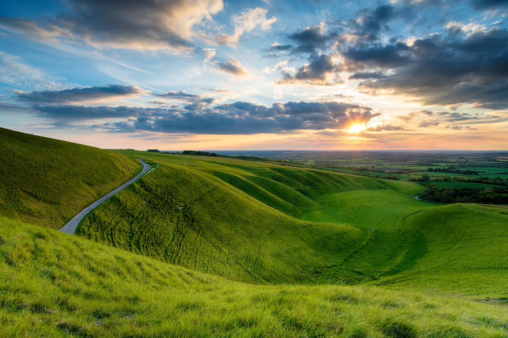
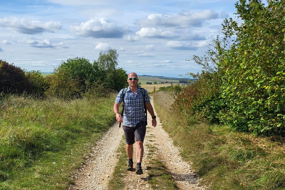
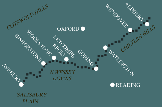
The Ridgeway: The Chiltern Hills
This 5 day itinerary is the most comfortable way to enjoy the Chiltern Hills. With 15 and 11 mile days behind you the final 3 days are all under 10 miles. The final leg of the walk is from Aldbury out to Ivinghoe Beacon and back.
Itinerary
| Day | Itinerary | Miles | Km |
|---|---|---|---|
| Day 1 | Travel to Goring for your first nights accommodation | ||
| Day 2 | Goring to Watlington then transfer back to Goring | 15 | 24 |
| Day 3 | Transfer back to Watlington, walk to Princes Risborough then transfer to Wendover | 11 | 18 |
| Day 4 | Transfer back to Princes Risborough then walk to Wendover | 6 | 10 |
| Day 5 | Wendover to Aldbury | 9 | 14 |
| Day 6 | Aldbury to Ivinghoe Beacon and back to Aldbury | 8 | 13 |
| Day 7 | Depart from Aldbury after breakfast |
Prices
| Accommodation, map & guidebook only | £781 |
| with Luggage Transport | £916 |
Other Options |
|
| Extra Nights (per night) | £104 |
| Single Supplement (per night) | £83 |
| Solo Luggage Supplement (per day) | £17 |
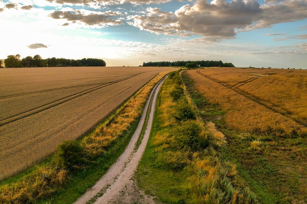
Goring to Watlington
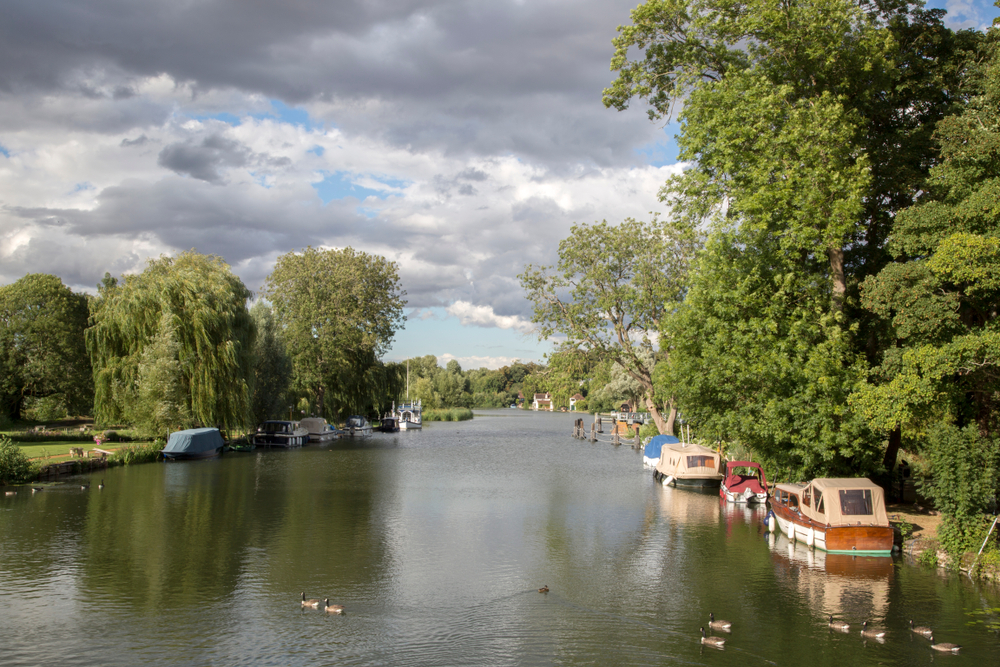
Leaving Goring the Ridgeway follows the River Thames, sharing the Swan’s Way as far as the delightful village of South Stoke. Shortly after the trail passes beneath the impressive Moulsford Railway Bridge and continues north to just short of Wallingford.
Here the Ridgeway turns 90 degrees and follows the line of the near-straight Grim’s Ditch to Nuffield. Much of this stretch is shaded by trees.
Leaving Nuffield you reach Huntercombe Golf Course and it’s here, rather than skirting round the course, you will actually be guided through by means of carefully placed wooden posts. Do keep an eye on the golfers!
The Ridgeway now enters the grounds of the picturesque Ewelme Park where the trail passes through charming woodland and by some attractive buildings including the Gardener’s Cottage, the Old Rectory and St Botolph’s Church.
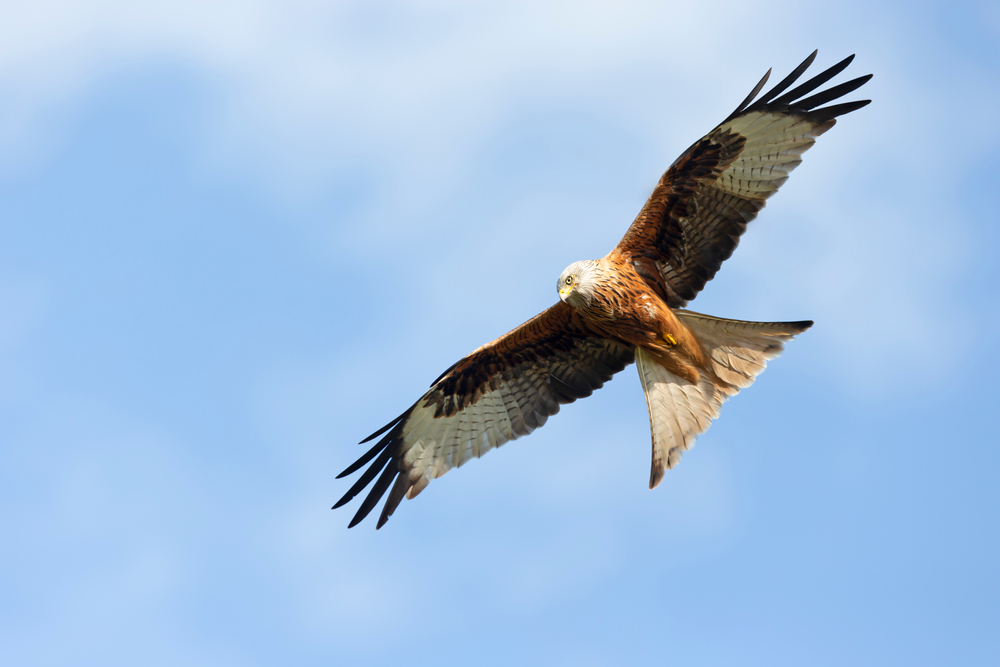
On reaching the turning for Watlington, if you have the energy, consider a short detour up onto Watlington Hill. You’ll be rewarded with stunning views and it’s an especially good spot for watching red kites. On the hill, cut into the chalk, is an 82m obelisk. The work of Edward Horne in 1764, who apparently felt the parish church would be more impressive if it appeared to have a spire when viewed from his house.
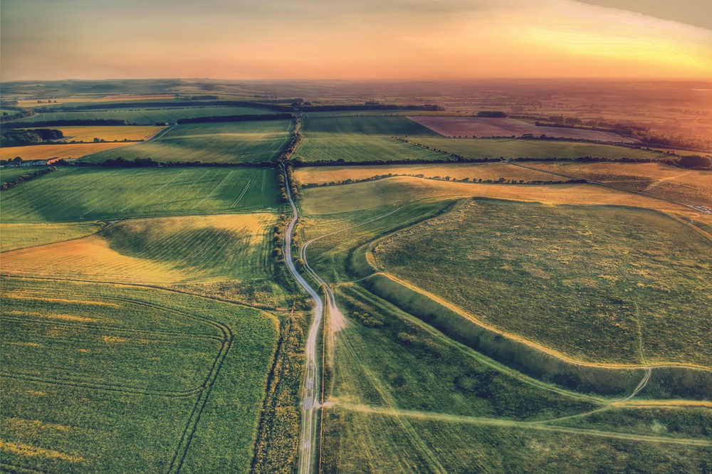
Watlington to Wendover
The walking here is easy as the Ridgeway makes its way north-eastwards beneath the Chilterns. Very soon the trail crosses over the Oxfordshire Way, a 65 mile route from Bourton-on-the-Water in the Cotswolds to the River Thames at Henley.
The tree shaded trail gives way to a wide grassy track between hedges with views over to Aston Rowant National Nature Reserve to the right. The Ridgeway passes beneath the M40 emerging alongside the northern half of the nature reserve. The reserve is home to a wide variety of orchids and many species of butterfly.
Continuing on you are rewarded with fine views of the wooded Chiltern scarp. As the Ridgeway runs parallel with the town of Chinnor the trail passes between the old chalk pits, quarried for the now closed cement works. Oakley Hill Nature Reserve can be accessed here. Again, a great place to spot butterflies and rare flowers. Beyond the chalk pits the trail then hugs the wooded slopes of Chinnor Hill. This is lovely stretch of the trail, passing through yet another nature reserve.
Passing by Princes Risborough the trail then crosses Whiteleaf Hill and Coombe Hill on its way to Wendover. Between the two hills the trail passes Chequers, the prime Minister’s country residence. Both hills feature lovely woodland with acorn guideposts to lead you through. Whiteleaf Hill is home to a nature reserve and on Coombe Hill stands a monument commemorating the men from Buckinghamshire who lost their lives in the Boer War.
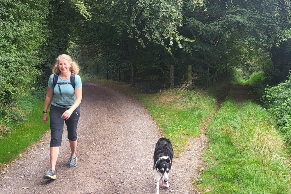
Wendover to Aldbury
The first point of interest on this section is the 14th century, St Mary the Virgin church. It was used as a camp for a time by Cromwell’s troops during the English Civil War.
Two woodlands dominate the early part of this section of the Ridgeway. Firstly Barn Wood followed by the Forestry Commission’s Hale Wood. The walking here is delightful with the trail surrounded by mature woodlands which are home to a carpet of bluebells in spring.
The trail continues through the tiny hamlet of Hastoe and into Tring Park where there’s the opportunity to spot plenty of wildlife including fallow deer.
Beyond Tring the trail crosses the Grand Union Canal, a 138 mile route linking the Midlands with London, and heads through Aldbury Nowers Nature Reserve. Home to over 30 species, it’s one of the main butterfly habitats in the UK.
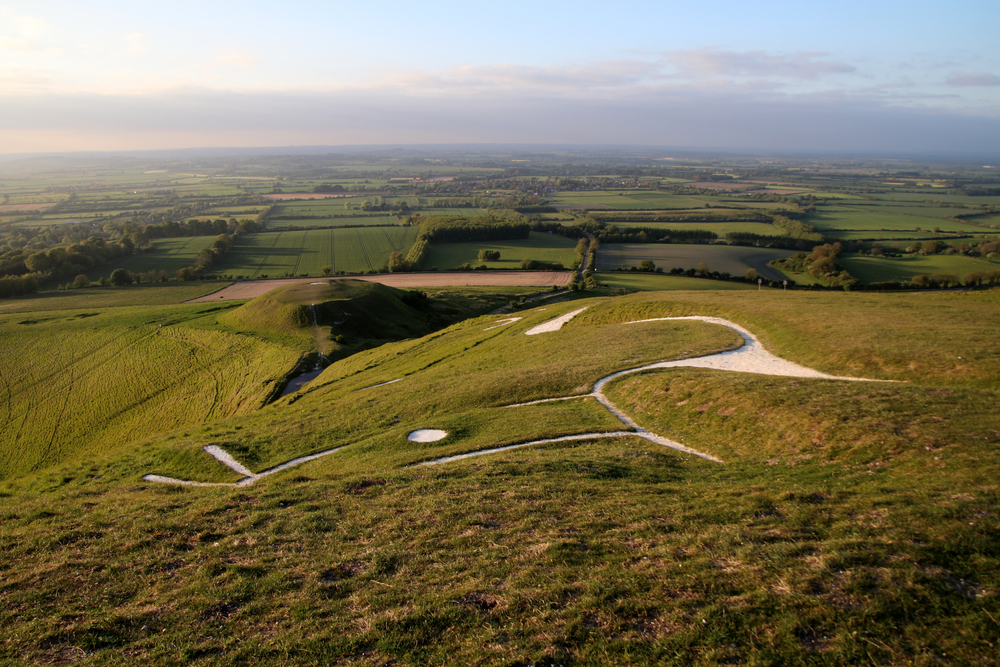
The Beacon finally comes properly into view as you cross Pitstone Hill. From here the trail leads you though woodland at Steps Hill before a final climb onto Ivinghoe Beacon.
To reach Aldbury, you can either retrace your steps towards Tring, breaking off for Aldbury just ahead of Tring Station, or if you prefer, and providing you are confident route finding, you could make use of the Icknield Way to guide you towards Aldbury.
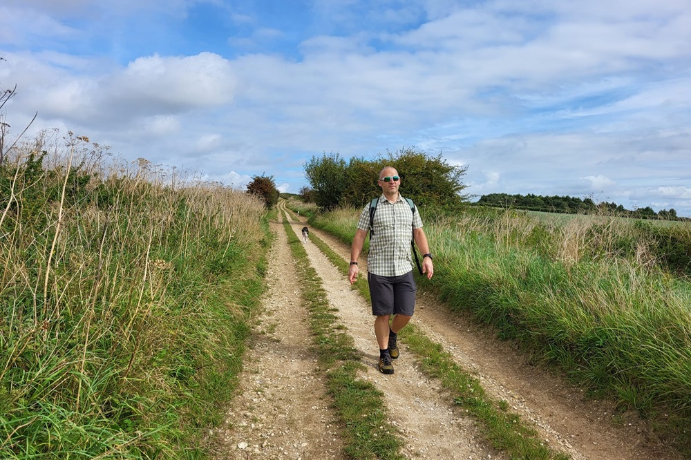
The Ridgeway is a relatively easy National Trail which is clearly way-marked along its length. Adequately prepared, the trail can be completed by anyone with a reasonable level of fitness.
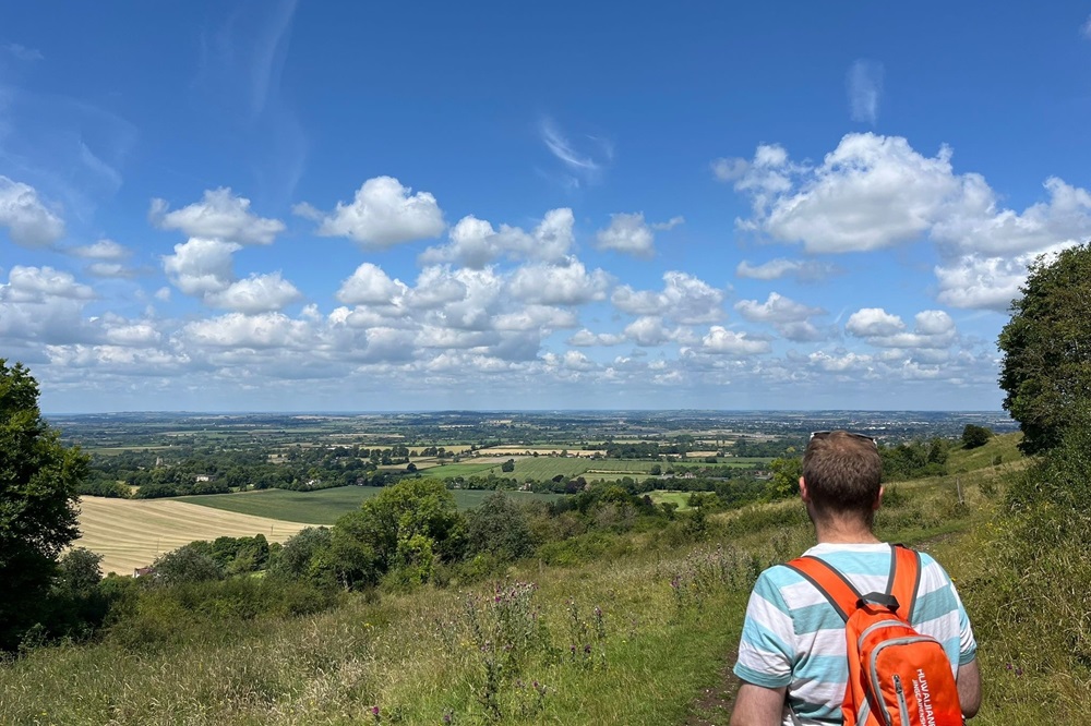
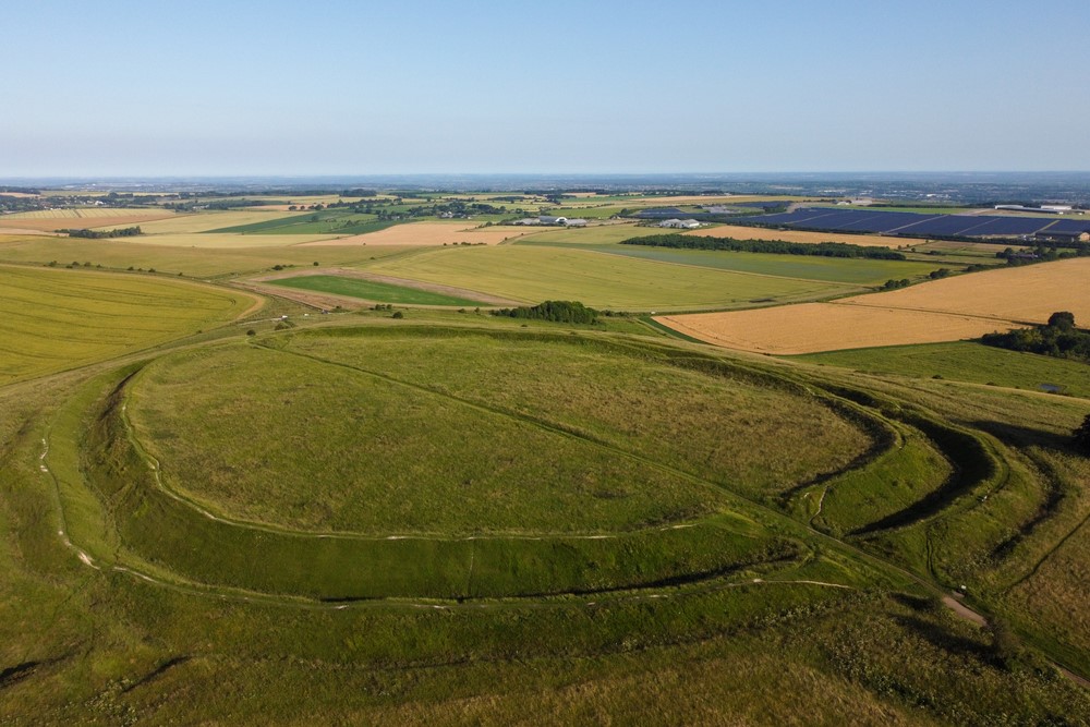
Terrain: One prominent hill range, the Chiltern Hills.
What’s it like underfoot? Much of the trail is a real mixture of woodland, farmland and country tracks, which is a little rougher underfoot, but never troublesome. Naturally things can get a bit muddy in wet weather.
How Much Up & Down? There will be a couple of steep climbs each day, but really nothing too demanding. On a number of days you will need to descend from the trail to your overnight accommodation. Inevitably, you will need to regain the height the following morning. The trail is undulating rather than hilly.
Signposting: Very good. There are regular ‘Ridgeway’ signposts, particularly at junctions, showing the direction of the trail. These are usually also marked with the National Trail acorn symbol. At times there will simply be waymarkers displaying the yellow acorn. Occasionally, other paths may be indicated on the waymarkers, however you’ll stay on track if you simply ‘follow the acorn’.
Navigation: Really straightforward. As a National Trail, the Ridgeway is very well signposted. The map and guidebook are incredibly detailed and the trail itself follows well defined tracks and paths. Although the trail does pass through some of your overnight stops, on a number of days you will need to leave the trail and make your way along lanes and minor roads to your accommodation. These routes will be detailed in your holiday pack and easy to follow on your map.
Weather: You may be lucky enough to encounter warm, dry weather over the whole route and enjoy dry paths and tremendous views, but you must be prepared because the weather can change quickly. Good clothing, comfortable footwear and reliable waterproofs are essential. It is important you carry plenty of water on warm days. There are long sections on the downs where there is little shade.
|
All Holidays
|
|
| Accommodation | Overnight Bed and Breakfast accommodation in selected hotels, farmhouses, village inns, guest houses and family B&Bs. Full English or Continental breakfast. |
| Guidebook | A detailed guidebook with route information, maps, photos and background information. |
| Information of Services Along the Route | A comprehensive Service Info sheet, including services such as cash points, banks, post offices, village shops, inns, cafes and taxis. |
| Maps | A waterproof 1:40000 Harvey Map covering the whole route. |
| Personal Itinerary | A personal itinerary setting out each overnight stop, including large scale maps of each accommodation, to ensure you find it easily. |
| Emergency Telephone Support | If you get in to difficulties during your holiday, we are always available to help, even out of office hours. |
|
Options
|
|
| Luggage Transport | We will transfer your luggage between each overnight stop – if you leave your luggage at the accommodation when you set off in the morning, it will be moved on to your next B&B. You only need to carry a small day sack with the clothes and provisions you require during the day’s walk. |
| Packed Lunches |
We are unable to pre book packed lunches on this route. However, some accommodations will be happy to prepare a packed lunch if requested on arrival. |
| Off Road Parking | If you are travelling by car we can usually arrange off road parking for the duration of your trip. (There may be a small charge for this). |
| Arrangement of return transport | We can also arrange your transfer back to your car, (or advise you when public transport is a better option)! |
|
What’s not Included
|
|
| Evening Meals | Your evening meal isn’t included in the package, but we include full details and recommendations for each evening meal in your itinerary. You will normally be within walking distance of a pub and/or restaurant, or where there is good food available at the accommodation, we’ll book that for you. Allow about £30.00 per night. |
| Transport to the Start & Away from the Finish | Have a look at the ‘Travel Info’ tab above for suggestions. If you’re still struggling, get in touch and we’ll help you sort it out. |
| Travel Insurance | Even if you are based in the UK travel insurance is worth having. |
Good accommodation and friendly hosts are an essential part of any holiday. We understand this and go out of our way to find the best. We put a great deal of effort into hand picking our accommodation and matching it to individual customer requirements. As well as visiting the accommodation ourselves, we ask all our customers to complete a short evaluation on each night’s accommodation, which then gives us an insight into the day-to-day operation and lets us spot any potential issues before they become a problem.
We use a variety of accommodation. Over the course of your trip you might stay in a village inn, a bed and breakfast in a converted barn, a Victorian guest house, or on a working farm. In selecting the accommodation we look for helpful, friendly hosts with good quality, characterful accommodation close to the trail. Occasionally we may use a chain hotel.
We always try to arrange en suite accommodation, i.e. rooms with their own bathrooms for each night of your stay. However, in some of the more remote locations accommodation is limited and occasionally we may have to book rooms with shared bathrooms for one or two nights of your holiday, (especially if the booking is made at short notice), but we will always let you know if this is likely to be the case.
We are happy to book single rooms on our holidays but cannot normally book more than two for any one group. Single room bookings include a supplement.
Here are some examples of the accommodation we use on The Ridgeway:
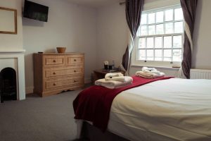
 Helen Browning’s Royal Oak in Bishopstone is a gently eccentric English pub and rooms set within 1500 acres of their own spectacular organic farmland which is home to 2000 head of free ranging livestock. They have a large garden, decks and stunning private picnic and lounging spaces spread between their hedges, old buildings and ponds. Visit their website
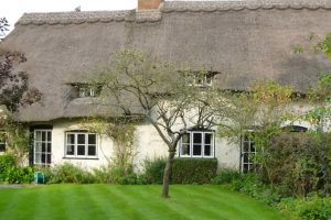 Located in the beautiful downland village of Letcombe Regis is the delightful Quince Cottage, a large thatched house, dating from the 17th Century. Louise offers you a warm welcome and with 30 years’ experience she knows exactly what her guests want. Delicious Aga cooked breakfasts for hungry walkers are the norm here! Visit their website
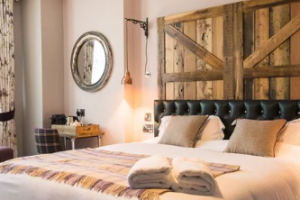
 Bel & The Dragon at The Red Lion is a Grade-II listed inn in Wendover, dating back to 1669. With 23 boutique bedrooms, a welcoming bar, and a beautiful garden terrace, it’s ideal for special occasions, date nights, or weary walkers. The inn offers traditional British dining in a cosy, character-filled setting at the foot of the Chiltern Hills. Visit their website
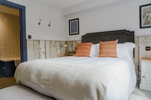
 The Greyhound Inn is a charming traditional country pub in the picturesque village of Aldbury. The pub has a traditional feel with extensive dining areas, as well as a lovely outside terrace for those warm summer evenings. The perfect place to relax and unwind having completed The Ridgeway. Visit their website
General travel information for The Ridgeway will be in your holiday pack.
Detailed instructions on getting to your first night’s accommodation by car, or on foot from the nearest train or bus station, will also be included in the holiday pack on individual accommodation maps.
To view train times please visit trainline where you can also purchase tickets in advance. For information on bus timetables please visit traveline
Getting to Goring:
By Air: The most convenient International Airports for the trail are Bristol, Birmingham or London (both Heathrow and Gatwick). There is a railway station at Birmingham Airport with frequent services to Goring & Streatley station changing at Reading. Both Heathrow and Gatwick airports have rail links to London Paddington Station from where you can catch a train to Goring & Streatley station direct or changing at Reading.
If travelling via Bristol Airport, shuttlebuses run frequently to and from Bristol Temple Meads railway station from where you can catch a train to Goring & Streatley station changing at Didcot Parkway.
By Public Transport: There is a railway station at Goring. Goring & Streatley Station is located on the Great Western Mainline with frequent services to London Paddington, Didcot Parkway and Bristol Temple Meads.
By Road: Goring is located just off the A329 between Wallingford and Pangbourne.
From the North, exit the M40 at Junction 6 then follow signs for B4009 Watlington. Stay on the B4009 as it passes through Watlington and Britwell Salome to meet the A4074 at Benson. Head towards Wallingford and on reaching the Crowmarsh roundabout, follow signs for the B4009 Goring.
From the South, exit the M4 at Junction 12 then follow signs for A4 Theale then for the A340 Pangbourne. On reaching Pangbourne, at the mini-roundabout, continue straight on to join the A329 to Goring & Streatley.
Returning from Aldbury:
By Public Transport: The nearest railway station to Aldbury is Tring. Tring Railway Station is located on the West Coast Main Line with fast and frequent trains between Glasgow and London Euston.
The station is a 20 minute walk from the centre of Aldbury village or the Red Rose bus service runs between Aldbury and Tring Station Monday to Saturday.
By Road: Aldbury is located between the A4251 and B4506, just off the A41 at Tring.
From the South & East (M1), exit the M1 at Junction 8 then follow the A414 through Hemel Hempstead. Continue on the A414 to meet the A41 then follow signs for Aylesbury. Exit the A41 following signs for B4635 Tring and Aldbury.
From the North & West (M40), exit the M40 at Junction 9 then follow signs for the A41 Bicester then Aylesbury. Stay on the A41 as it passes through Aylesbury and onwards to Tring. Follow signs for B4635 Tring and Aldbury.
No recommended rest days available for this holiday.