Dingle Way: Annascaul to Cloghane
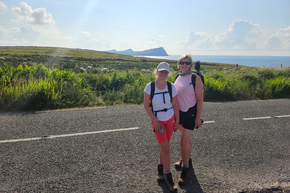
This is a great choice for anyone who wants to enjoy the Dingle Way experience condensed to 4 fabulous days of walking. Averaging 15 miles or so per day this shorter alternative removes the first 2 and final 2 days from the full circuit. What it doesn’t remove is any of sense of having bathed in the overall experience of walking on the glorious Dingle Peninsula.
Itinerary
| Day | Itinerary | Miles | Km |
|---|---|---|---|
| Day 1 | Travel to Annascaul for your first nights accommodation | ||
| Day 2 | Annascaul to Dingle | 14 | 23 |
| Day 3 | Dingle to Dunquin | 14 | 23 |
| Day 4 | Dunquin to Cuas | 17 | 27 |
| Day 5 | Cuas to Cloghane | 14 | 23 |
| Day 6 | Depart from Cloghane after breakfast |
Prices
| Accommodation, map & guidebook only | £559 |
| with Luggage Transport | £639 |
| with Packed Lunches | £607 |
| with Luggage & Lunches | £683 |
Other Options |
|
| Extra Nights (per night) | £104 |
| Single Supplement (per night) | £70 |
| Solo Luggage Supplement (per day) | £18 |
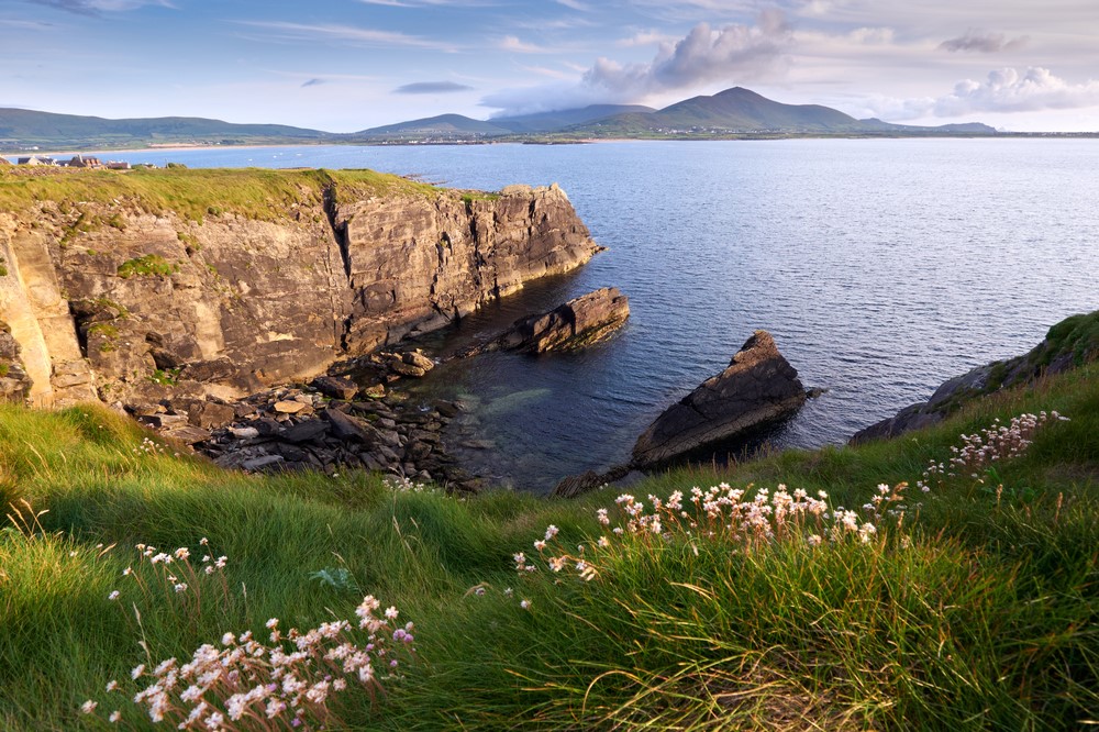
Annascaul to Dingle
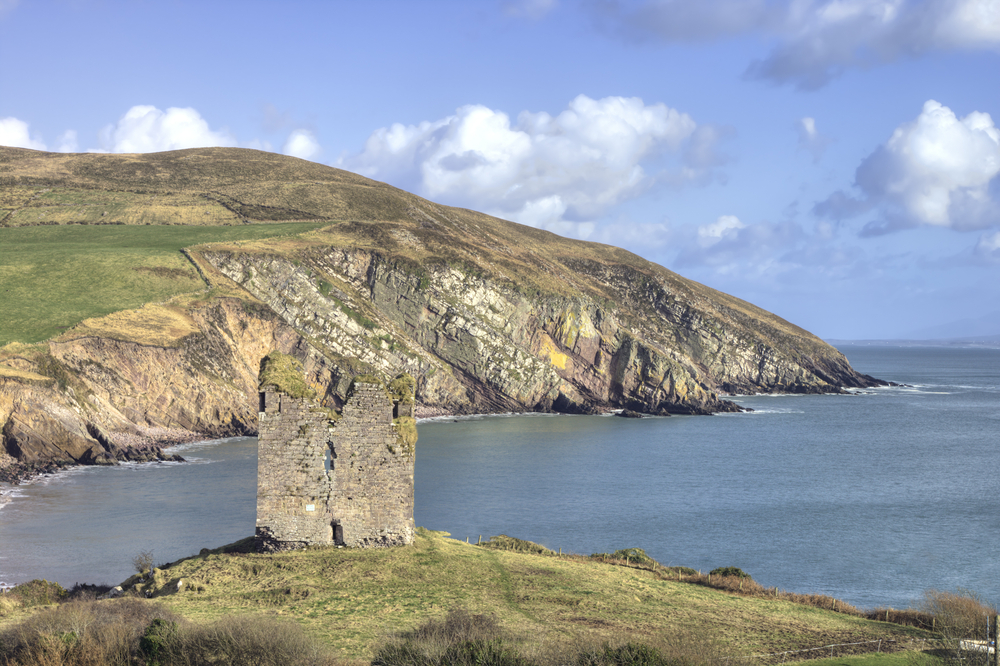
Leaving Annascaul, the trail joins the busy Tralee-Dingle road for a short time prior to joining a quieter road that winds its way for a little over 4km before descending to sea level beside the magnificent ruin of the 16th century Minard Castle. The beach here is a great place to enjoy the views across Dingle Bay towards the Iveragh Peninsula.
Beyond the beach the trail climbs steeply up a narrow path and for the next 6km follows boreens and minor roads that weave around the surrounding farmland.
Prior to reaching Lispole a breathtaking vista of the mountain range to the north comes into view with Croaghskearda and An Cnapán Mór being the more dominant peaks. The trail then crosses the main N86 road and heads north in the direction of Croaghskearda Mountain.
After following a minor road for around 2km the trail crosses farmland and rises onto the lower mountain slopes. This section lasts for approximately 5km and can particularly muddy in places.
A bridge crossing the Garfinny River realigns the trail in a south-westerly direction and heads straight for the town of Dingle approximately 4km downhill.
Dingle to Dunquin
Journeying west from Dingle along the harbour the trail crosses the Milltown River and accompanies the main road for a further kilometre before taking a side road through an area of low-lying farmland.
After approximately 3km the road joins the Pilgrims Route for approximately 300m before turning off the road for 1.5km heading cross country in a north-westerly direction. Once over col at Mám an Óraigh the trail drops downs to meet a minor road approaching Ventry from the north.
The trail now crosses a beach for the first time, drawing a long arc across the sands of Ventry Harbour. A number of small rivers feeding into the sea along the beach are crossed by bridge. This sandy section lasts for approximately 2.5km before returning to firmer ground.
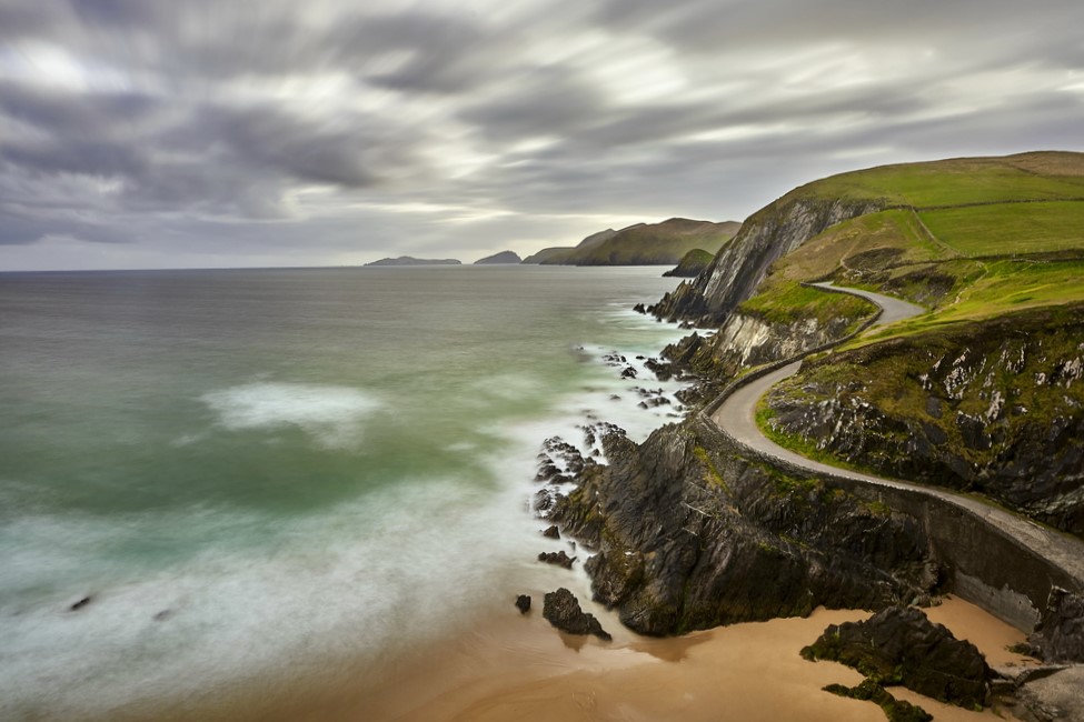
The trail now follows intertwining minor roads and tracks for 2km to meet the main Slea Head Road. The next 7km of the trail passes stunning scenery on all sides as it skirts the base of Mount Eagle. At 160m above sea-level, the view over the Atlantic gradually starts to include the Blasket Islands as the trail rounds Slea Head.
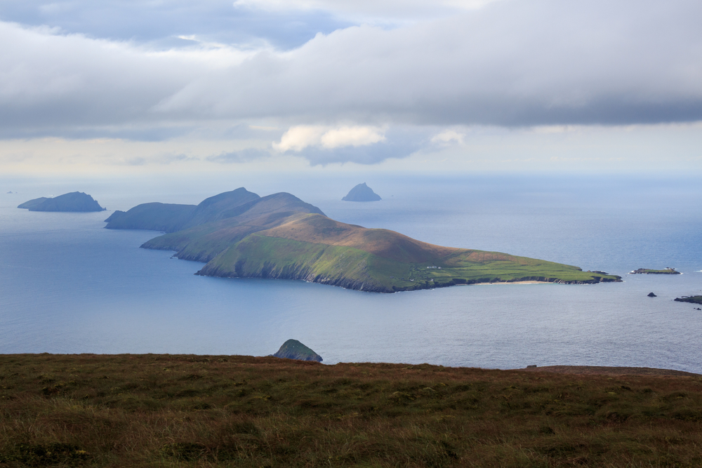
The final section of this stage sees the trail back on the main road for 3km before descending towards the picturesque pier and on to the centre of Dunquin. The heritage centre tells the poignant story of the Blasket Islands. A rest day with good weather will allow for a ferry ride out to the Blaskets.
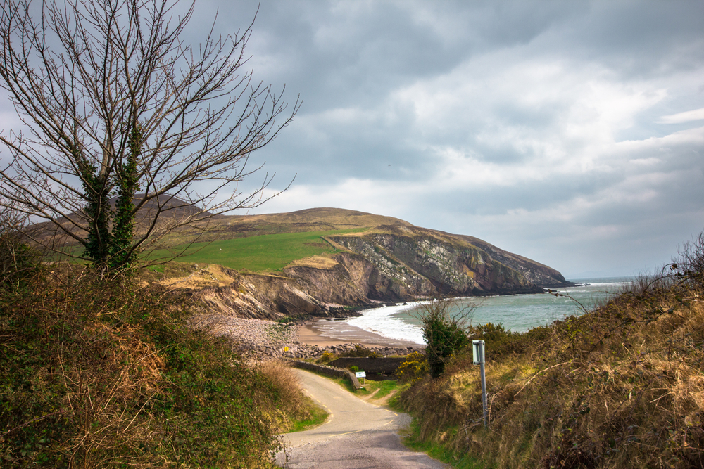
Dunquin to Feohanagh
Heading uphill out of Dunquin the trail soon becomes a gravel path as it rounds the shoulder of An Ghráig before descending and rejoining the main road.
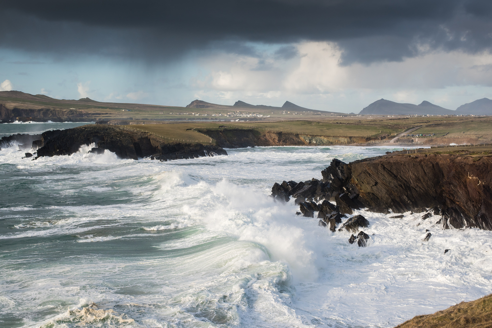
Having crossed grasslands and passed the charming Clogher Beach, the trail skirts the clifftops and the ferocity of the Atlantic is felt as the mighty waves crash below.
Beyond Smerwick Harbour the trail follows 6km of beach, bypassing Ballyferriter before finally reaching Murreagh and Ballydavid. Once passed Ballydavid the trail follows a 3 km section of cliff walk prior to turning inland and rejoining the road at Glashabeg leading to Feohanagh.
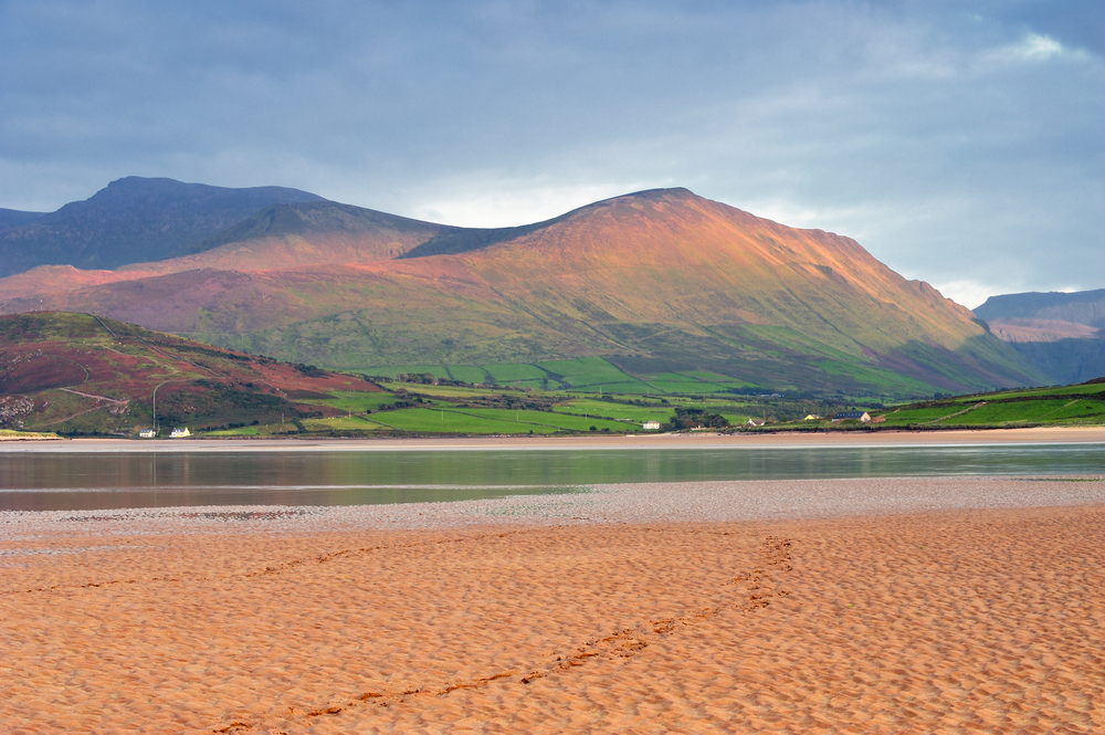
Feohanagh to Cloghane
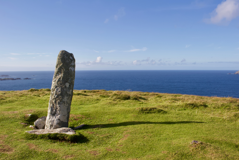
Leaving Feohanagh the trail joins an old green road taking the trail in a north-easterly direction aiming for Cnoc na mBristi. The steep pull up to the shoulder of Brandon Mountain sees the trail round the col between Masatiompan and Piaras Mór reaching 650m. The ancient marker ogham stone with an inscribed cross can be found here.
The descent from the mountain can prove incredibly hazardous following heavy rain as the slope is quite steep and the terrain boggy underfoot. Following a section of around 2km the gradient becomes more manageable as the trail weaves its way down into the valley for a further 4km before meeting up with a wider road section.
After the physical challenge of Brandon Mountain you may be tempted to take a short cut by missing out the 4km loop taking in Brandon Village. However doing so would result in missing out on one of the most tranquil settings in Ireland.
The final leg of this section sees the trail leave the pier at Brandon and head south-west across lanes for just over 6km in the direction of Cloghane Village.
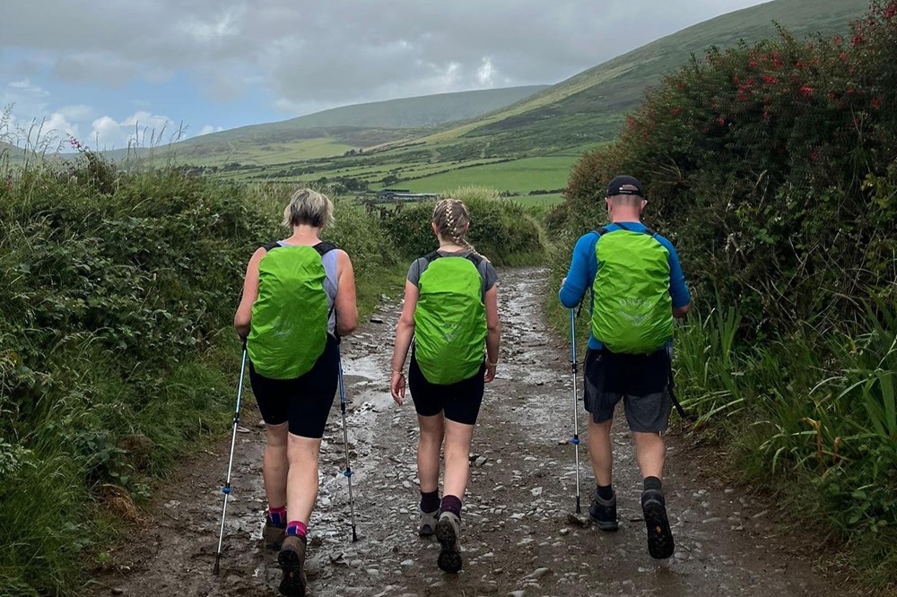
Although generally a low level walk the Dingle Way deserves to be taken seriously. Due to the distances between locations the trail involves lengthy days, often between 14 and 18 miles on a mixture of tarmac road, soft sands, and rough farm tracks.
Terrain: Almost 50% of the route is on tarmac road, albeit scenic along quiet lanes with very little traffic other than occasional agricultural vehicles. A number of beaches make up approximately a further 15% of the trail providing fabulous walking along wide sands. The remainder of the trail follows farm tracks, field edges, cliff tops, moorland and boreens (a country lane, or narrow, frequently unpaved, rural road).
What’s it like underfoot? Walking on tarmac can prove hard going and take its toll on the joints. At the opposite end of the scale walking in soft sand on the beach can prove tiring. Following periods of rain boreens, farm tracks and moorland paths can be boggy, sometimes extremely so. You should be prepared for all of the above.
How Much Up & Down? Fairly frequent minor ups and downs as you cross small valleys and headlands. There is one significant ascent over the spur of Brandon Mountain at 2130 feet (650m) otherwise the route never rises above 750 feet (230m).
Signposting: Generally good. Black posts show a yellow walker icon and an arrow head. Occasionally at junctions there will be paint markings on rocks.
Navigation: Your guidebook has a detailed route description with maps in English. Your Ordnance Survey Ireland 1:50k maps are in Irish, not English. It is recommended you study them and familiarise yourself with the route and the maps ahead of your holiday. On the trail refer to your guidebook and maps at regular intervals. If in doubt at any stage, retrace your steps to your last known location and take direction from your maps and guidebook.
Weather: You may be lucky enough to encounter warm, dry weather over the whole route and enjoy dry paths and tremendous views, however the reality is the weather on the peninsula is unpredictable, frequently changeable and wind and rain is always likely. Be prepared. Good clothing, effective waterproofs and comfortable, waterproof footwear are essential.
|
All Holidays
|
|
| Accommodation | Overnight Bed and Breakfast accommodation in selected hotels, farmhouses, village inns, guest houses and family B&Bs. Cooked or Continental breakfast. |
| Guidebook | A detailed guidebook with route information, maps, photos and background information. |
| Information of Services Along the Route | A comprehensive Service Info sheet, including services such as cash points, banks, post offices, village shops, inns, cafes and taxis. |
| Maps | A (1:50,000) Ordnance Survey Ireland map covering the route. Please note the OSI maps are in Irish, not English. |
| Personal Itinerary | A personal itinerary setting out each overnight stop, including large scale maps of each accommodation, to ensure you find it easily. |
| Emergency Telephone Support | If you get in to difficulties during your holiday, we are always available to help, even out of office hours. |
|
Options
|
|
| Luggage Transport | We will transfer your luggage between each overnight stop – if you leave your luggage at the accommodation when you set off in the morning, it will be moved on to your next B&B. You only need to carry a small day sack with the clothes and provisions you require during the day’s walk. |
| Packed Lunches |
Provided for each day’s walking and recommended on this holiday as there will not always be a handy shop or cafe on the route. |
| Off Road Parking | If you are travelling by car we can usually arrange off road parking for the duration of your trip. (There may be a small charge for this). |
| Arrangement of return transport | We can also arrange your transfer back to your car, (or advise you when public transport is a better option)! |
|
What’s not Included
|
|
| Evening Meals | Your evening meal isn’t included in the package, but we include full details and recommendations for each evening meal in your itinerary. You will normally be within walking distance of a pub and/or restaurant, or where there is good food available at the accommodation, we’ll book that for you. Allow about €35.00 per night. |
| Transport to the Start & Away from the Finish | Have a look at the ‘Travel Info’ tab above for suggestions. If you’re still struggling, get in touch and we’ll help you sort it out. |
| Travel Insurance | Even if you are based in the UK or Ireland travel insurance is worth having. |
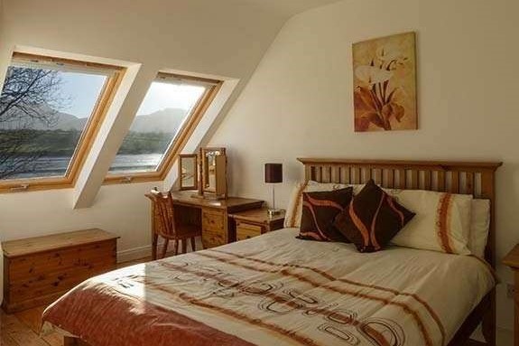
Good accommodation and friendly hosts are an essential part of any holiday. We understand this and go out of our way to find the best. We put a great deal of effort into hand picking our accommodation and matching it to individual customer requirements. As well as visiting the accommodation ourselves, we ask all our customers to complete a short evaluation on each night’s accommodation, which then gives us an insight into the day-to-day operation and lets us spot any potential issues before they become a problem.
We always try to arrange en suite accommodation, i.e. rooms with their own bathrooms for each night of your stay. However, in some of the more remote locations accommodation is limited and occasionally we may have to book rooms with shared bathrooms for one or two nights of your holiday, (especially if the booking is made at short notice), but we will always let you know if this is likely to be the case.
We are happy to book single rooms on our holidays but cannot normally book more than two for any one group. Single room bookings include a supplement.
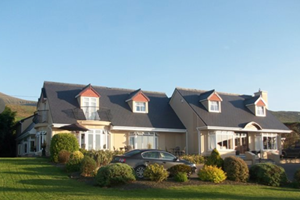
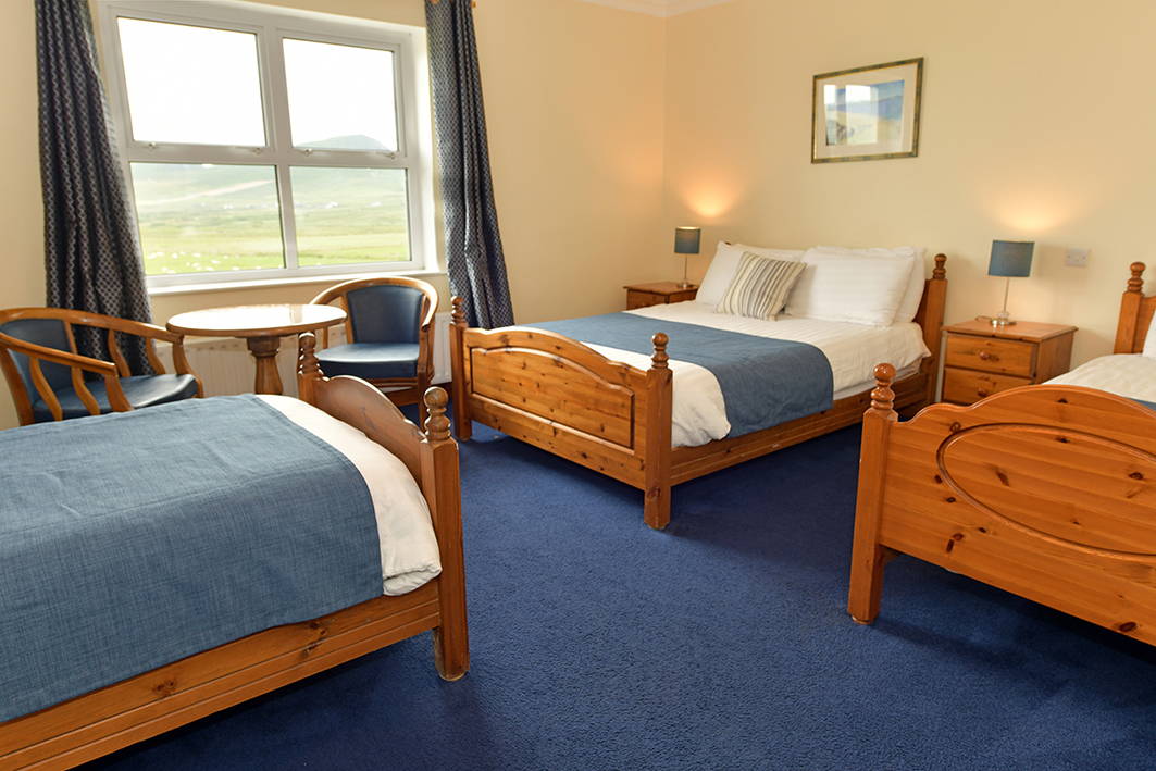
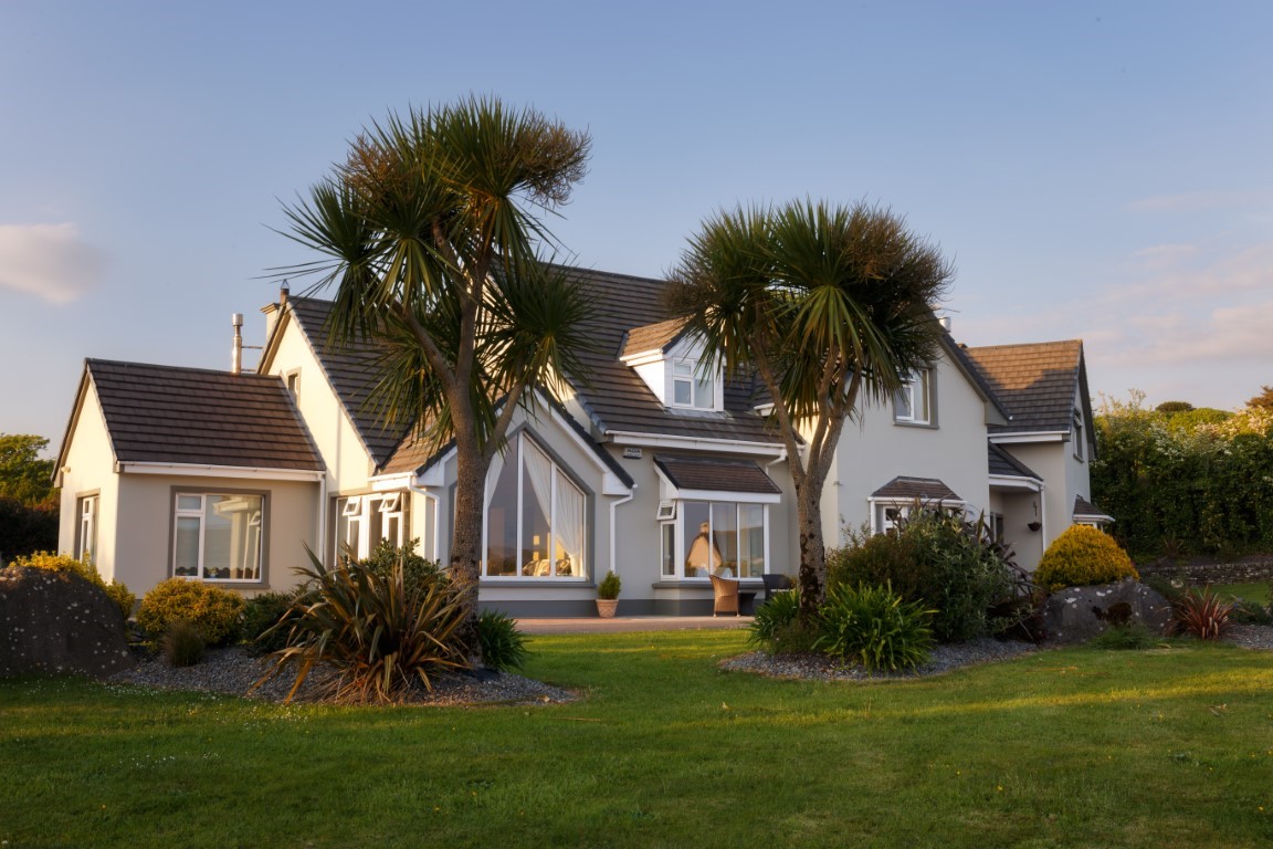
We use a variety of accommodation on the Dingle Way comprising boutique hotels, detached family run guesthouses, bed and breakfast on small working farms and lively pubs with traditional live music. You will experience a mix of all of these.
Here are some examples of the accommodation we use on the Dingle Way:
 Annette assures you of a warm welcome at The Shores Country House at Cappateige. This luxury 5-star accommodation is nestled between the grand Beenoskee Mountains and the picturesque Brandon Bay. Each of the rooms are uniquely designed and enjoy stunning views. “Nothing here is overlooked but the sea.” Visit their website
 Ann is your host at O’Connor’s in Cloghane. This family owned guesthouse and bar offers comfortable accommodation and a quality dining experience, as well as stunning views of Brandon Bay. O’Connor’s is renowned for its friendly atmosphere and traditional music. Visit their website
 Aileen and Maurice look forward to greeting you at An Bothar Pub & Guesthouse in Cuas. Surrounded on all sides by spectacular scenery, rooms at An Bothar provide stunning views of Ireland’s 2nd highest mountain Mount Brandon to the front and the beautiful Three Sisters and Smerwick Harbour to the rear. Visit their website
 Aiden and Helen guarantee you a warm welcome at Tower View in Dingle. Their family run purpose built Bed and Breakfast is situated in a quiet location, ensuring their guests enjoy a tranquil setting overlooking Dingle Harbour. Visit their website
Passport and Visa Requirements
UK residents do not legally require a passport to travel to Ireland, thanks to the Common Travel Area (CTA). However, most airlines and ferry operators will ask for valid photo identification, such as a passport or driving licence, so it’s essential to check with your carrier before travelling. UK residents do not need a visa to visit Ireland.
For information on the British Embassy in Dublin please click here
For further information on passports and visa requirements from the UK Government, please click here
Anyone travelling from abroad should check foreign travel advice, passport and visa requirements, as well as information on embassies, issued by their own government.
Health Requirements
There are no compulsory health requirements or vaccinations for UK residents travelling to Ireland. Similarly, there are no compulsory health requirements for visitors from Europe, America, or other countries, however, travellers should ensure they are up to date with routine vaccinations recommended in their home country. Further travel health advice can be found here
–
General travel information for the Dingle Way will be in your holiday pack.
Detailed instructions on getting to your first night’s accommodation by car, or on foot from the nearest train or bus station, will also be included in the holiday pack on individual accommodation maps.
To view train times please visit Irish Rail. For information on bus timetables please visit Bus Éireann.
If you require secure car parking whilst walking this route, please contact us for information.
Getting to Tralee:
By Air: The nearest and most convenient International Airport to Tralee is Cork. Buses regularly depart for Cork city centre where trains run frequently to Tralee.
By Ferry: The most convenient Ferry Ports for Tralee are Rosslare (from Fishguard, Pembrokeshire or Cherbourg, France) and Dublin (Holyhead or Anglesey). Trains run regularly from Dublin and Rosslare to Tralee.
By Public Transport: There is a railway station at Tralee. Tralee Station is the terminus of the Mallow to Tralee line, from Mallow there are fast and frequent services to and from Dublin and Cork.
By Road: Tralee is located at the end of the N22 from Cork and the N21/N69 from Limerick.
If travelling from Dublin, take the N7/M7 to Limerick then exit at Junction 30 and follow signs for the N21 Tralee.
If travelling from Rosslare Ferry Port, follow the N25 to Waterford then follow the N24 to Limerick joining the M7 at Junction 29 (Ballysimon) and following signs for the N21. Then continue as above.
Getting to Annascaul:
By Public Transport: The nearest railway station to Annascaul is Tralee. Bus Éireann bus services 275 runs frequently between Tralee and Annascaul along the N86 main road. Alternatively, you may wish to make the journey by taxi – journey time approx. 35-40 minutes.
By Road: Annascaul is located on the N86 main road between Camp and Dingle.
If travelling from Dublin, take the N7/M7 to Limerick then exit at Junction 30 and follow signs for the N21 Tralee. On reaching Tralee, follow the N86 to Camp then onwards to Annascaul.
If travelling from Rosslare Ferry Port, follow the N25 to Waterford then follow the N24 to Limerick joining the M7 at Junction 29 (Ballysimon) and following signs for the N21 to Tralee. Then continue as above.
Returning from Cloghane:
By Public Transport: The nearest railway station to Cloghane is Tralee. The easiest way to travel to/from Tralee Railway Station is by taxi – journey time approx. 40 minutes.
By Road: Cloghane is located on the R550 Farrantooleen Road, between Castlegregory and Brandon.
If travelling from Dublin, take the N7/M7 to Limerick then exit at Junction 30 and follow signs for the N21 Tralee. On reaching Tralee, follow the N86 to Camp then follow signs for R560 Castlegregory. Approaching the Castlegregory junction, do not turn right – instead continue straight on as the R560 becomes the R550 then watch for signs stating ‘An Clochan’ (the Irish spelling of Cloghane).
If travelling from Rosslare Ferry Port, follow the N25 to Waterford then follow the N24 to Limerick joining the M7 at Junction 29 (Ballysimon) and following signs for the N21 to Tralee. Then continue as above.
Dingle
Take time out from your walk to soak up the vibrant atmosphere of Dingle Town, a hub of literary and creative culture. The town is famous for its fresh seafood, be sure to try some.
Book a boat trip along Dingle Bay and see the local landmarks including incredible views of Valentia Island and Ireland’s highest mountain, Carrauntoohill.
Another great way to enjoy the Dingle coastline is on a horseback tour culminating with an exhilarating gallop along the shoreline.
Take a tour of Dingle Distillery producer of world class whiskey, vodka and gin and learn all about the production of their tantalising drinks.
Visit Dingle Cookery School where during a three hour class you’ll create a delicious meal using local ingredients such as fish, shellfish, lamb, cheeses and even whiskey.
Dingle is also the perfect place from which to take a boat tour out to the Blasket Islands. Inhabited probably since the Iron Age before being abandoned in 1953, the islands lie on the westernmost edge of Europe.
These extremely isolated islands are separated from the mainland by Blasket Sound, a narrow and treacherous strip of water. It is said that even in the 20th century island life had a medieval flavour with no machinery or electricity and operating on a cashless co-operative economy. An exploration of the abandoned village on Great Blasket, the largest of the six islands will prove a fascinating visit.