The Magic of the Two Moors and What Lies Between
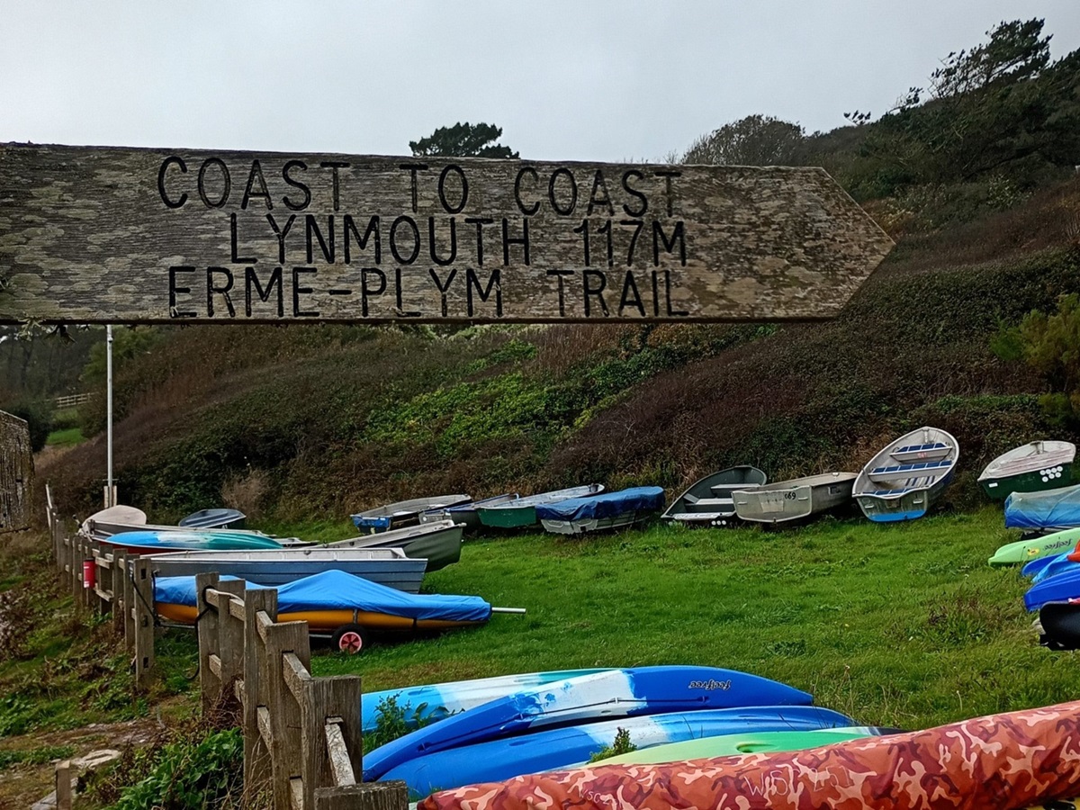
Being one of the newest members of Mickledore, this was to be my first familiarisation trip, and I was beyond excited to be allowed to test out one of our newest routes! The Two Moors Way, affectionately known as Devon’s Coast to Coast, is a sublime trail linking Wembury and Lynmouth, some 117 miles apart South to North.
The official Two Moors Way route, which opened 29th May 1976, does not actually start until Ivybridge. In 2005 this start point was linked to a section of the Erme-Plym trail to extend the route to Wembury, creating Devon’s Coast to Coast.
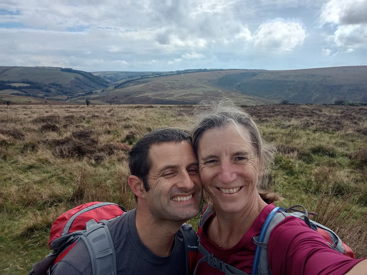
Myself and husband Matt are big walkers, so we decided to make the most of our time “down South” spending a week camping along the South West Coast Path prior to our fam trip. This meant we had a week of lugging all our gear around and “roughing it” before the luxury of our accommodations, luggage couriers and not eating lightweight pasta meals! Heaven.
We arrived at Wembury slightly ahead of schedule, and so it was only polite to while away a little time in the beautiful Old Mill Café right on the beach. A wander around the historical little church of St Werburgh was a delight, with its prominent position on the hillside it is easy to see why it was used as a sailor’s navigational landmark for hundreds of years.
As we had arrived early, we decided to follow the start of the trail from Wembury Beach up to where we branched off through the village to find our B&B, to save us having to re-trace our steps in the morning. This only took five minutes and we were soon knocking on the door of our first accommodation. We were greeted warmly, wet clothes whisked away to the drying room and we had a great chat with our host Phil. Being overwhelmed by the prospect of a warm dry night inside, we were soon tucked up, ready for a great night’s sleep ahead of our adventure tomorrow.
Pre-Dartmoor: Wembury to Ivybridge
It felt so strange only carrying a daypack after the previous week, and we set off with a real spring in our step, excited to be exploring a completely new area to us. We quickly left the sea behind as we headed inland crossing arable land and following some quiet wooded lanes, soon to be rewarded with a view of Dartmoor in the distance.
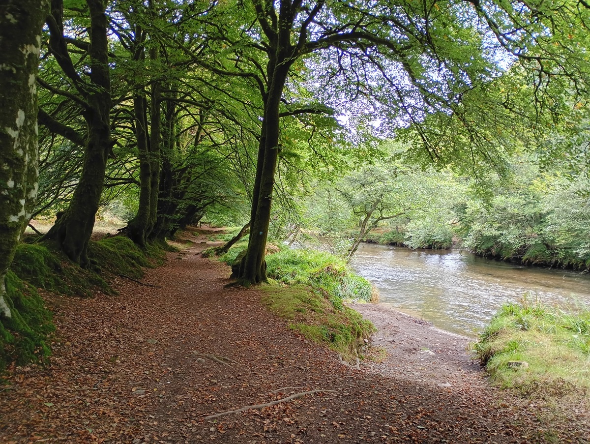
Walking across farmland soon led us to the inevitable “meeting of cows” which some people can find quite daunting. It was reassuring to see a note from a helpful farmer reading “these cows will follow you, but they are friendly!” The trail loosely followed the River Erme all the way to Ivybridge passing through the lovely villages of Brixton and Yealmpton along the way and with great views over towards Ermington.
Dartmoor: Ivybridge to Chagford in two walking days
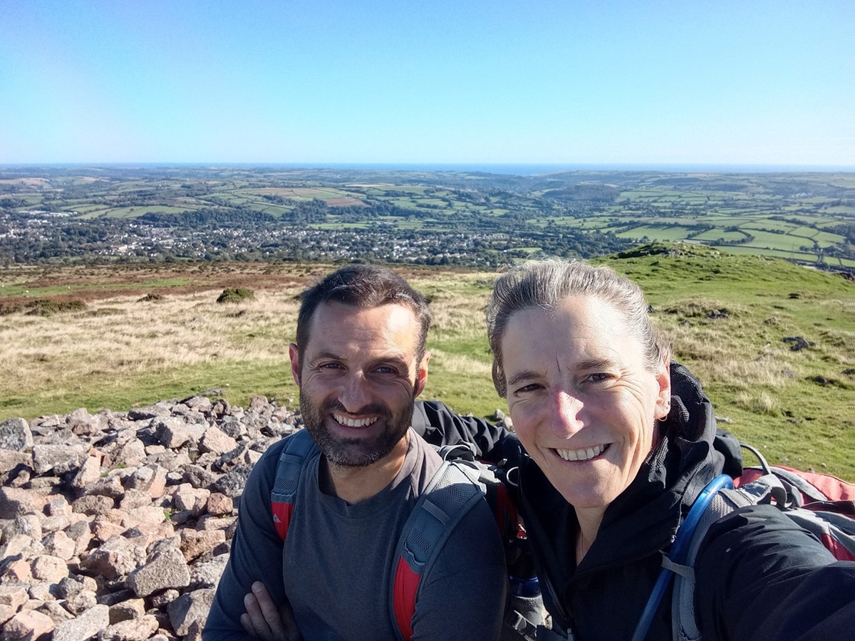
We started at The Watermark, in Ivybridge, full of anticipation about starting the “official” Two Moors Way and excited to experience the legendary Dartmoor. If the tourist information centre here is open you can go and sign the Two Moors Way record book. After escaping the urban metropolis of Ivybridge, a delightful woodland track led us to the gateway to Dartmoor – literally. At the top of the lane a gate opened onto Hartford Moor and Dartmoor stretched away in front of us, it was simply breathtaking and we both had a “Wow!” moment. Matt and I opted for the alternative route which would take us to the top of Western Beacon following the ridgeline to Butterdon Hill. At a height of 366m (and with the help of a clear but very windy day) we had great views looking back to the coast and round to Plymouth.
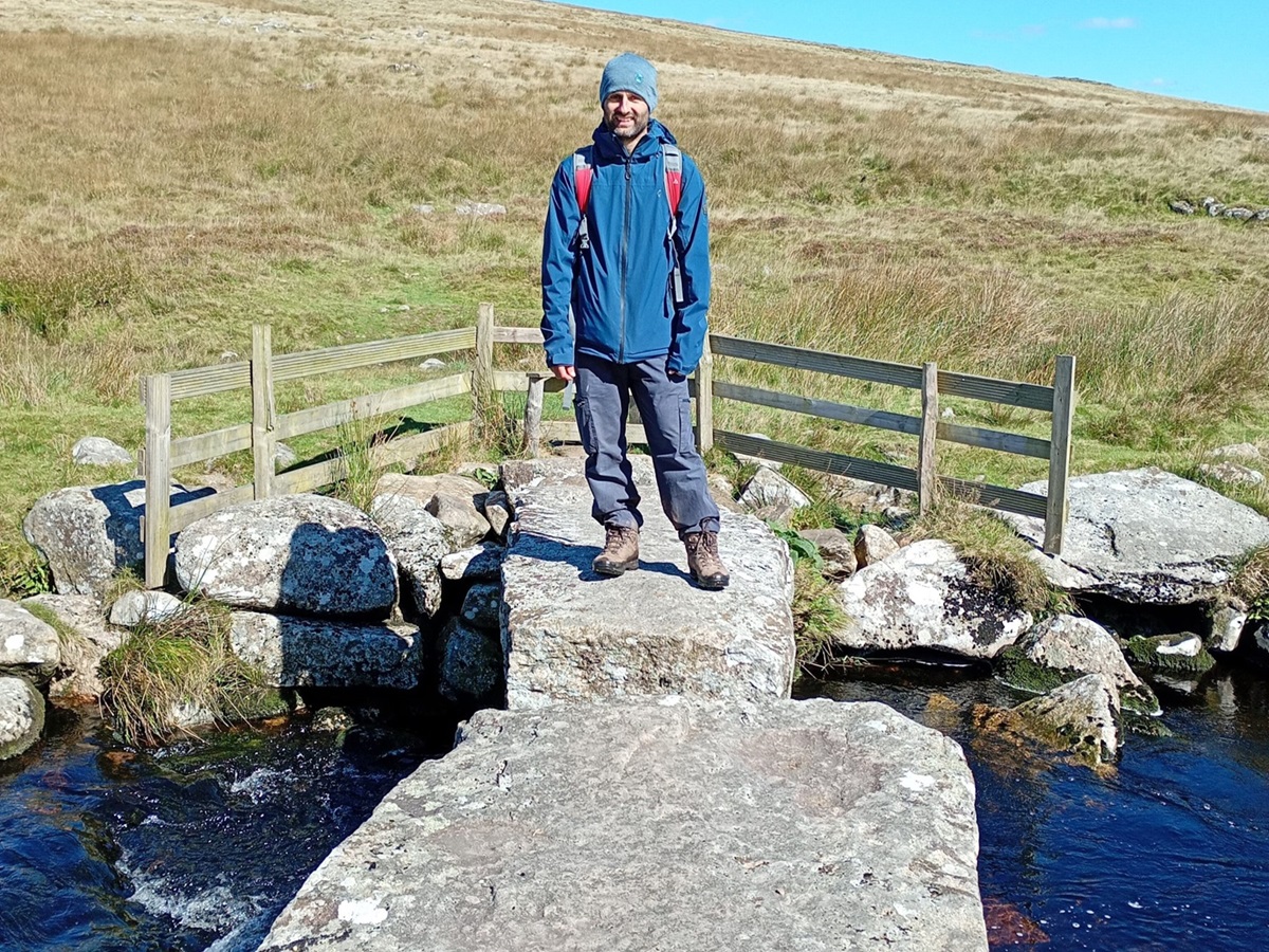
We dropped back down to meet the official trail which follows the route of The Red Lake Railway. This was once used to carry deposits of china clay, but once supplies were exhausted in the 1930’s, the tracks were removed. The result is a wide, clear path which is easy to follow, even if the weather was less favourable. We wound our way across Ugborough Moor, passing Piles Hill and Sharp Tor. This section is also flanked by cairns and boundary stones, great navigational aids. We had several encounters with Dartmoor ponies, beautifully quiet animals who are no trouble whatsoever. We left the mining track (at a very obvious marker stone) to join the Abbott’s Way. From the top of this hill you have a great view down to the 19th century Clapper’s Bridge at the bottom of the next valley. This has recently been upgraded and now has some fencing and a stile at one end.
The track here becomes very indistinct and we found ourselves following the map booklet really carefully to navigate up onto Hickaton Hill, we also checked our GPX locator to double check we were going the right way. From the top, we had great views of Buckfast Abbey, an active monastery which was founded in 1018. It was then a lovely walk down the hillside to tree lined lanes, where we entertained ourselves seeing who could find the largest conker, all the way to Scorriton!
Our day from Scorriton to Chagford was memorable for several reasons. It was the most varied, the most navigationally challenging (which was mainly our own fault), the longest walking day, but also our favourite! We had to follow our noses several times, after losing the trail on three different occasions between Scorriton and the path to Aish Tor. We blamed this on a lack of signposting (there is very little), trying to navigate only with the map booklet and talking too much. In reality it was our own fault and the moral of the day quickly became to read the guidebook properly, which has comprehensive instructions for all the areas where we had “issues”. That said, we were never lost and always had the GPX locator on the App as reassuring back up. We were not even on the moor, just the lanes and footpaths which we “assumed” would be straightforward to follow.
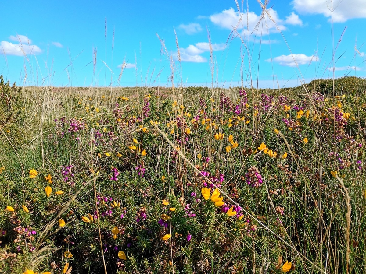
The stretch from Dunstone Down to Bennett’s Cross, traversing Hamel Down was stunning and it was wonderful being back out on the open moor. This really did feel wild and we were treated to real show of Dartmoor at its best, flora and fauna in abundance, from flowering gorse and heather to more wild ponies, birds of prey – even a group of paragliders!
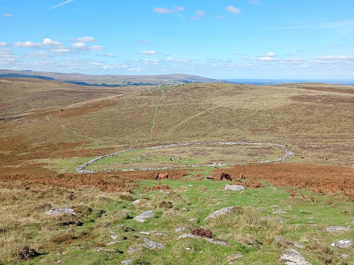
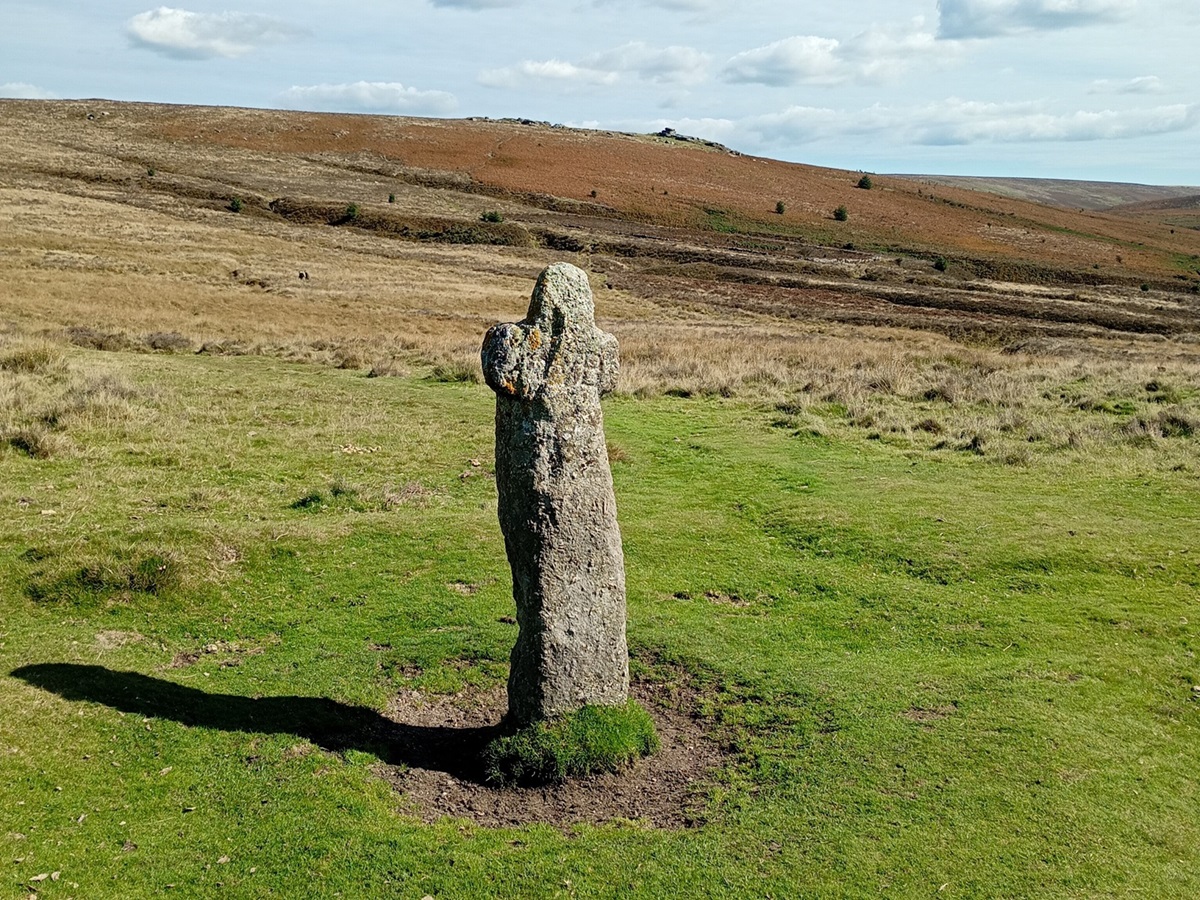
There really was so much to savour and enjoy on this stretch, including lots of Bronze Age Barrows, or burial mounds, and the “pièce de résistance” being Grimspound. This four acre Bronze Age settlement is thought to date back to the 1300 BC, originally holding two dozen round houses, and it was fascinating to explore.
The treats just kept coming, and as we ascended to Hookney Tor we had an amazing panoramic view of the surrounding area, dropping down to cross a road at Bennett’s Cross before ascending back onto Chagford Common.
We headed down from the moor and into Chagford (where suddenly there were Two Moor Way signposts everywhere!) crossing fields and wandering down lanes. We sadly realised that our time in Dartmoor was coming to an end and so we delightfully debated our favourite parts all the way to our accommodation.
Between the Two Moors: Chagford to Tarr Steps in three walking days
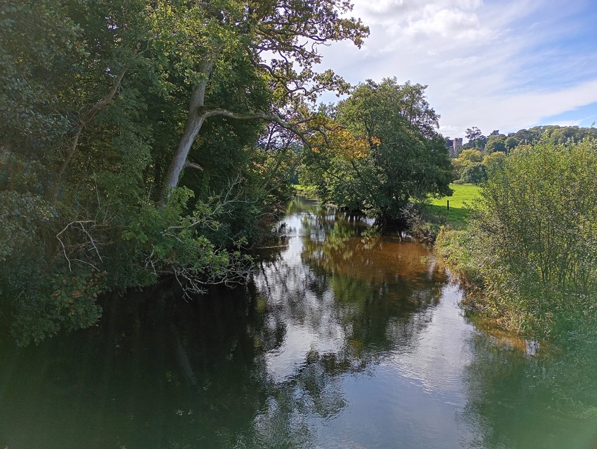
As we left Chagford we were walking away from Dartmoor, but there was one final surprise in store. Castle Drogo is set in a beautiful estate, now owned by the National Trust. Its claim to fame is being Britain’s “youngest” castle, being built between 1911-1930 and the last castle built in England. It was given to the National Trust in 1974 and, due to exposure the castle has been undergoing an ambitious restoration project since 2013. The walk up through the castle estate is gorgeous, especially once it opens up over Teign Gorge with plenty of places to sit and admire the view. The trail goes below the castle itself, but there is the option to detour off for a quick stop at the tearoom. Leaving the castle behind, we crossed a ridge with fantastic views towards Drewsteignton, and Exmoor beyond.
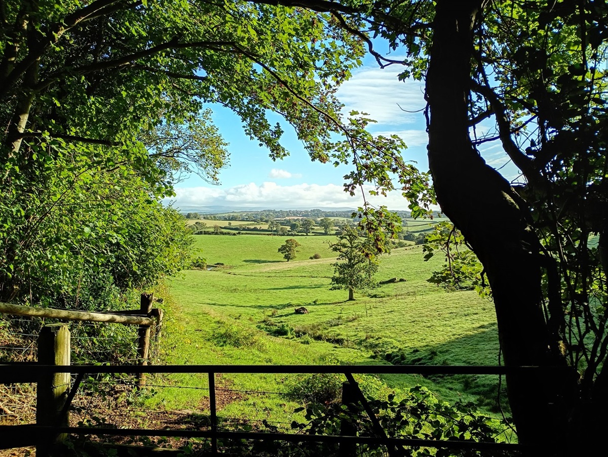
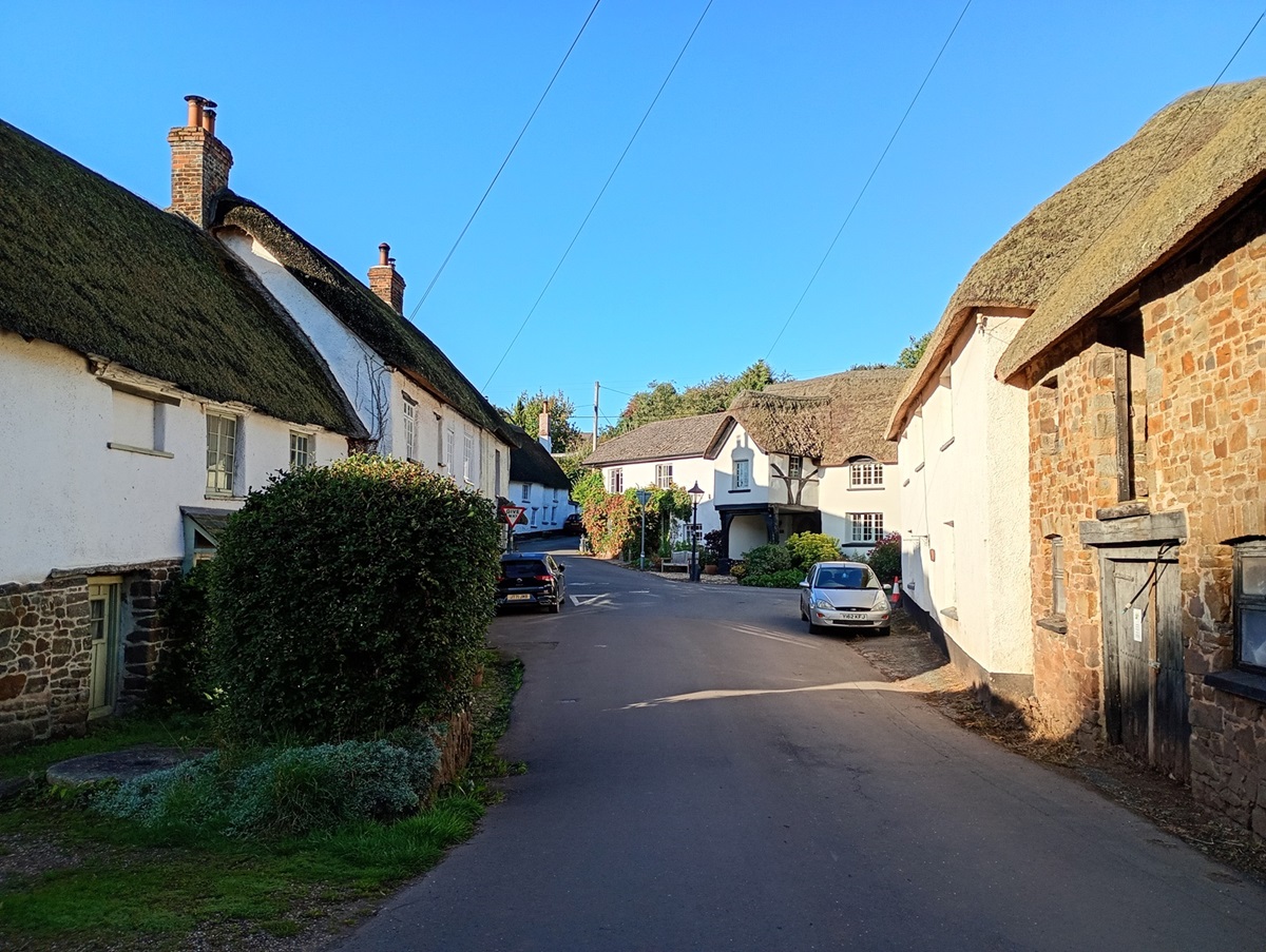
There was a distinct change in the topography of the landscape as we left behind the wilderness of the moor and entered the farmland of Mid Devon which is a mix of arable and dairy. Everything was suddenly either very green (pasture), a reddy/brown (the ploughed fields) or taking on a beautiful autumnal hue (the tree-lined lanes and riverside trails). For the next few days of walking we wound our way through this sleepy countryside, feeling as though we had stepped back in time. Many of the hamlets we passed through consist of thatched cottages, some the original cob houses, and we saw one cottage being traditionally re-thatched. There was a real sense of tranquility here, life just tucked away, continuing as it has for centuries, unspoilt by all things modern.
This section of the trail included a variety of walking along quiet country lanes, (we saw virtually no traffic), wooden boardwalks, through open fields and enjoying the peace of the riverside, the quiet broken by the sound of water and birdsong. We were treated to many wildlife encounters, including squirrels, deer, thousands of craneflies, and of course, more cows! One particularly feisty herd thought it would be great fun to follow us at a trot through their field, but this was calmed by some arm waving and a few words of “reassurance”.
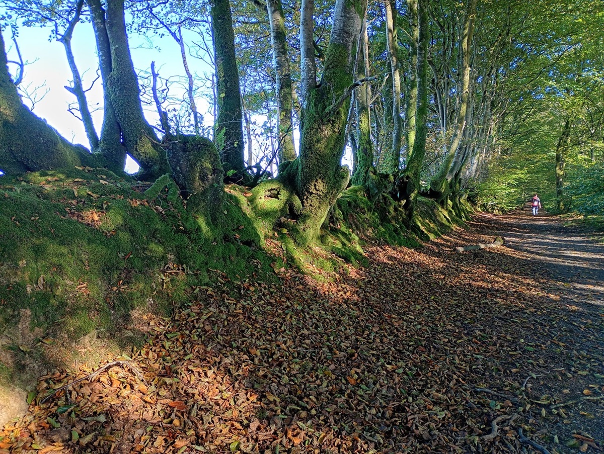
They say it has been a bumper year for tree harvests partly due to a warm, dry spring and this was evident as we crunched our way through carpets of acorns, chestnuts, apples and more conkers. These woodland lanes really were beautiful, with leaves changing colour and falling from the trees. We marvelled at the traditional Devon Banks which we saw down every lane. These boundaries are steeped in agricultural history, traditionally made with a stone or turf bank and topped with dense hedges. These act as great livestock barriers, but also protect crops from the elements.
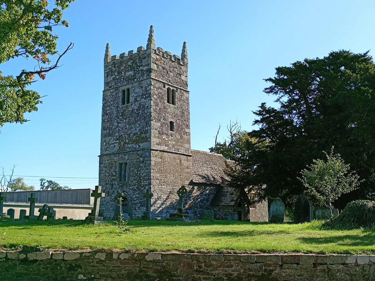
There was plenty of other history to be enjoyed along the way including an original roundhouse dating back to 1335 at Owlaborough and a plethora of tiny churches, Hittisleigh, Washford Pyne, Hawkridge and this example at Clannaborough Barton to name a few.
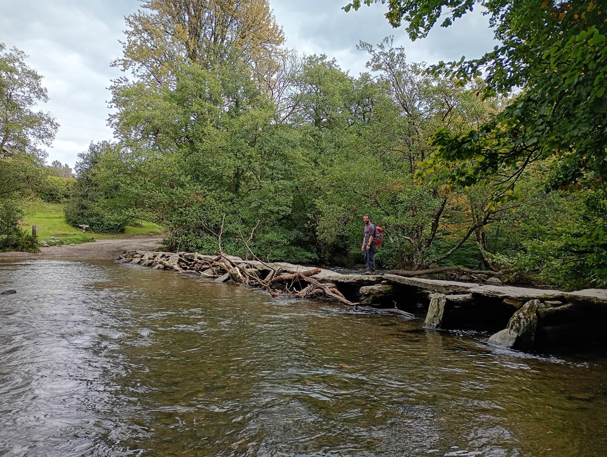
As we left West Anstey, we finally crossed into Somerset and Exmoor National Park. It was a real birthday treat for Matt to be back up on the moor – even if it was only briefly! We celebrated with lunch by the trig point on Anstey Common with a last final look back to Dartmoor away in the distance. We soon dropped down to our final point on this stage of our adventure, which is one of the most iconic sites in Exmoor – The Tarr Steps Clappers Bridge. This is the longest example in the country, spanning 17 stones, dating back to medieval times, it even has an appropriately linked legend that it was built by the devil and no-one can cross it when he chooses to lie on it to sunbathe! Lucky for us it was cloudy, and we skipped across without difficulty!
Exmoor: Tarr Steps to Lynmouth in two walking days
Leaving Tarr Steps, the guidebook tells you to follow the easterly side of the River Barle towards Withypool. However, due to flood damage, an unstable bridge and a change of use over part of the footpath (now only accessible on horseback) you are directed by very informative notice boards with maps, to cross back over the Clappers Bridge and instead follow the western river bank. This section of the river to Withypool, which boasts kingfishers, dippers, otters and salmon is idyllic. We only saw a dipper but this could be because we were too busy looking around and taking in all the sights, sounds and smells. Glorious.
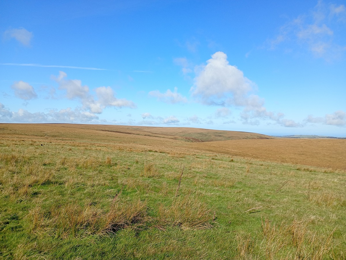
Passing through Withypool we stopped for tea and cake, which was soon burned off as we headed uphill and back out onto the open common. We found Exmoor to be a more rolling moorland, not quite as intimidating or rugged as Dartmoor, but equally beautiful. Whilst the height gain is not as great, you still have open views for miles.
That said, Exmoor still has a sting in the tail. Beyond Simonsbath, the trail heads out onto Exmoor’s highest and remotest ground and this really did throw a final challenge at us. We headed out full of excitement to be reaching Lynmouth later that day, but we soon had to concentrate on where we were walking! At Dure Down, there is a finger post pointing to the north west across featureless, pathless ground, this was not a problem until we realised we had headed over high ground and now could not see the finger post, or where we were headed (a path junction)! A wire fence which runs along The Chains (Exmoor’s highest ridge), soon sets the fluttering heart at ease and we followed this to the path junction and were soon back on a much clearer path. The Two Moors Way now overlaps with the Tarka Trail which follows the same route from here to Lynmouth.
What followed was a delightful path across Cheriton Ridge where we had our first glimpse of Exmoor ponies, a herd of deer and much birdlife (no cows!) On reaching Cheriton, we left the open access land of the moor and returned to woodland trails which eventually led us all the way to the coast. The wooded trails were surprisingly undulating in some places, taking us high above Myrtleberry Cleave, with outstanding views over the valley to the sea beyond. Some of the ups and downs on this section are quite steep and in places narrow, keeping you on your toes right to the end of the trail!
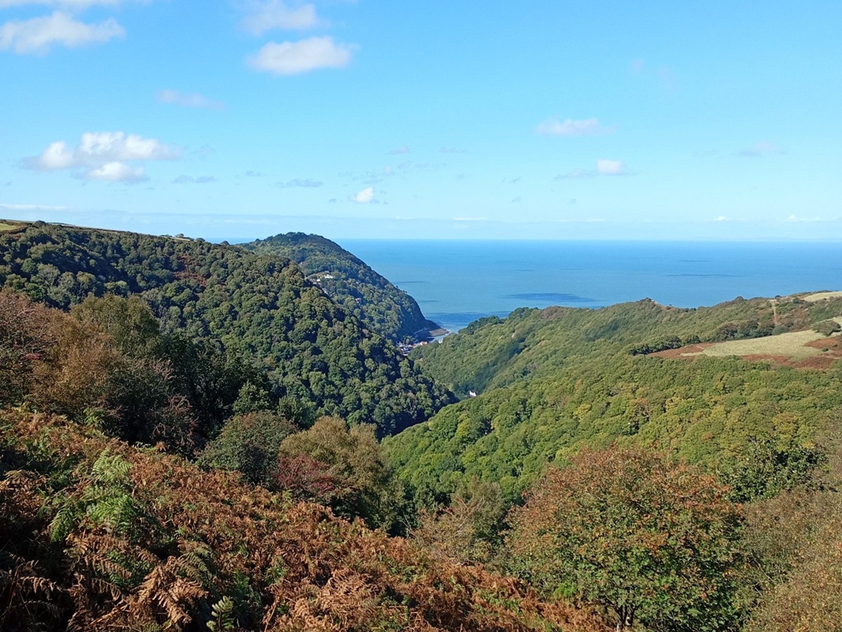
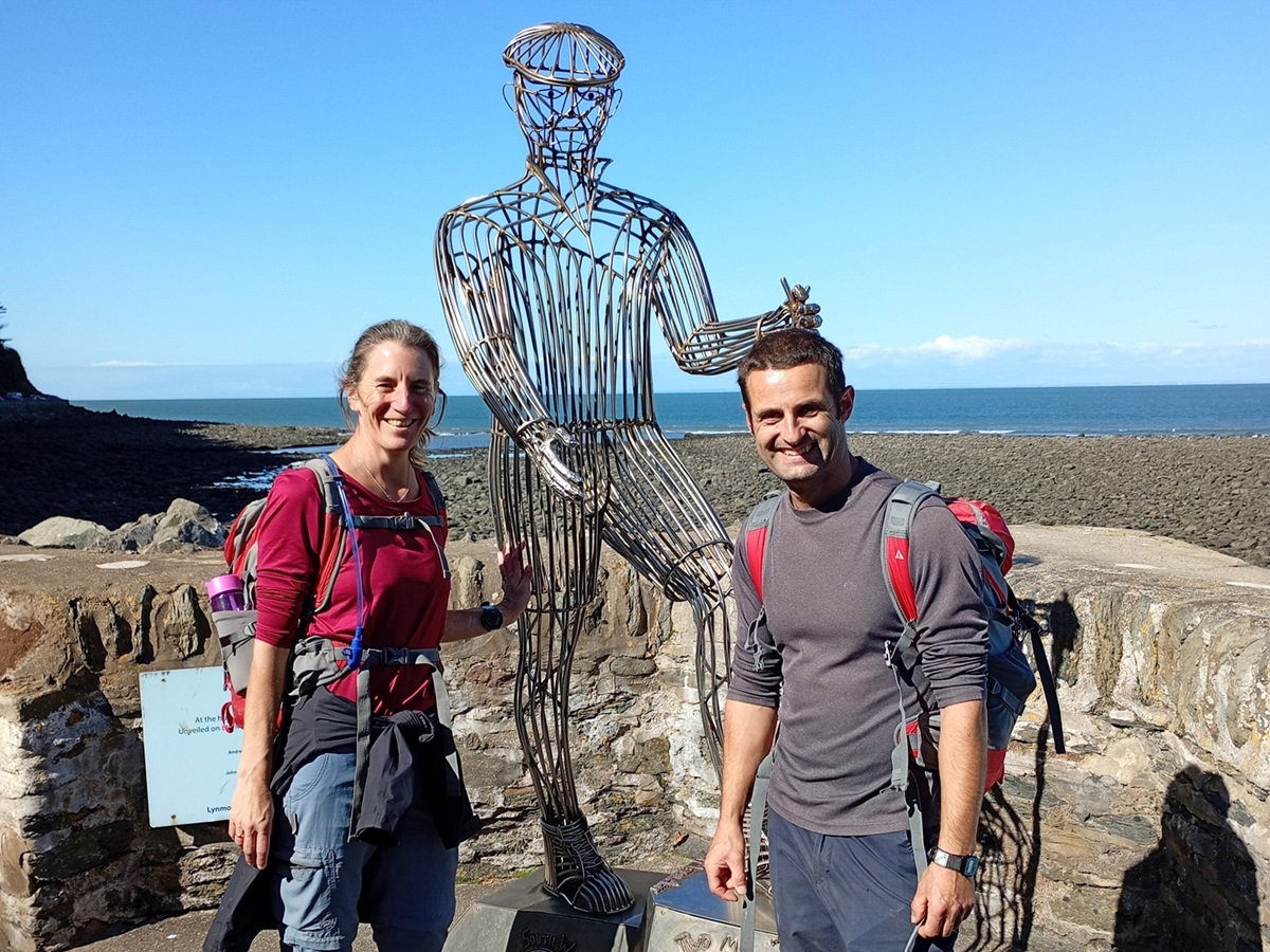
Arriving in Lynmouth was a mix of elation for completing the trail, amazement at the beauty of the village and a sadness that the journey was over. We walked to the esplanade and to the Two Moors Way statue for the obligatory photo, we even popped into the Exmoor National Park Visitor Centre to sign the record book. A quarter of this idyllic fishing village was destroyed by a huge flood in 1952 which came from the river rather than the sea. The flood memorial hall is well worth a visit, as is a trip up the cliff valley railway to neighbouring Lynton.
It was with heavy hearts that after eight days of being immersed in Mother Nature at her best, along with time to just relax and re-connect with each other, we now had to return to “normality”.
Accommodation and Meals
Most of our accommodation was at pubs or Inns, except for the first and last night which were in Bed and Breakfast. The accommodations were always very comfortable and we were able to eat on the premises (except the B&B’s). This was particularly useful as most of our walking days were quite long and we did not fancy venturing much further than downstairs to eat! There was a good variety on the menus to please every appetite. We had booked packed lunches, but not every accommodation was able to provide these so it was very handy having the services list to plan ahead where we could buy alternatives. We had a supply of snacks and energy bars which were really useful. Most days we would go from start to finish without seeing a shop, or even an honesty cupboard, so it was essential we had enough food and water to get us through the day.
Overview
This really is a beautiful walk which has its challenges along the way. It does have some good ascents and descents, particularly in both Dartmoor and Exmoor, which provide a workout! Signposting is scant in Dartmoor so you will need to rely on alternative methods, map reading coupled with GPX devices. More importantly, as we found out – the guidebook really is your best friend, and thoroughly describes directions for some of the “sketchier” sections.
We found the trail incredibly quiet after leaving Dartmoor, and we only saw three other people who were walking the route. Due to this it remains an absolute gem, largely unspoilt by tourism with more people opting for the neighbouring South West Coast Path.
Please, go and enjoy the wilderness and beauty, but shhhh don’t tell everyone!
Inspired to walk the Two Moors Way?
In addition to offering the full 117 mile Two Moors Way from Wembury on the South Devon coast to Lynmouth on the North Devon coast, we also offer two shorter, more manageable sections. The first of these is the 66 mile Dartmoor walk from Wembury to Morchard Road, which can be enjoyed over 4, 5, or 6 days. The second is the 51 mile Exmoor walk from Morchard Road to Lynmouth, over 4 or 5 days.
Email us at [email protected] or call 017687 72335 to speak to one of our walking holiday experts and start planning your perfect Two Moors Way adventure.