Walking the Westmorland Way
By Tara Walker-Rose
A relatively low-level 95 mile walk through the historic county of Westmorland and the Lake District National Park, the Westmorland Way takes you through some of the finest Lake District Scenery, the market town of Kendal, and canal paths and meadows to Arnside in Morecambe Bay. The guidebook for the route was written in 1984 and went out of print some years ago. Having used up all the copies we could buy, our clients now navigate this route themselves using OS maps that we have marked with the route.
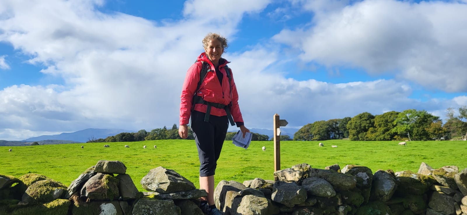
As many people do not feel confident route-finding this way, I decided I would walk this route myself and write some new instructions that we can provide to our clients to add confidence when walking. So far, on weekends and days off I have completed Appleby to Ambleside so this week I have set out to walk the remaining 40 miles from Ambleside to Arnside, in 4 stages.
Day 1: Ambleside to Windermere
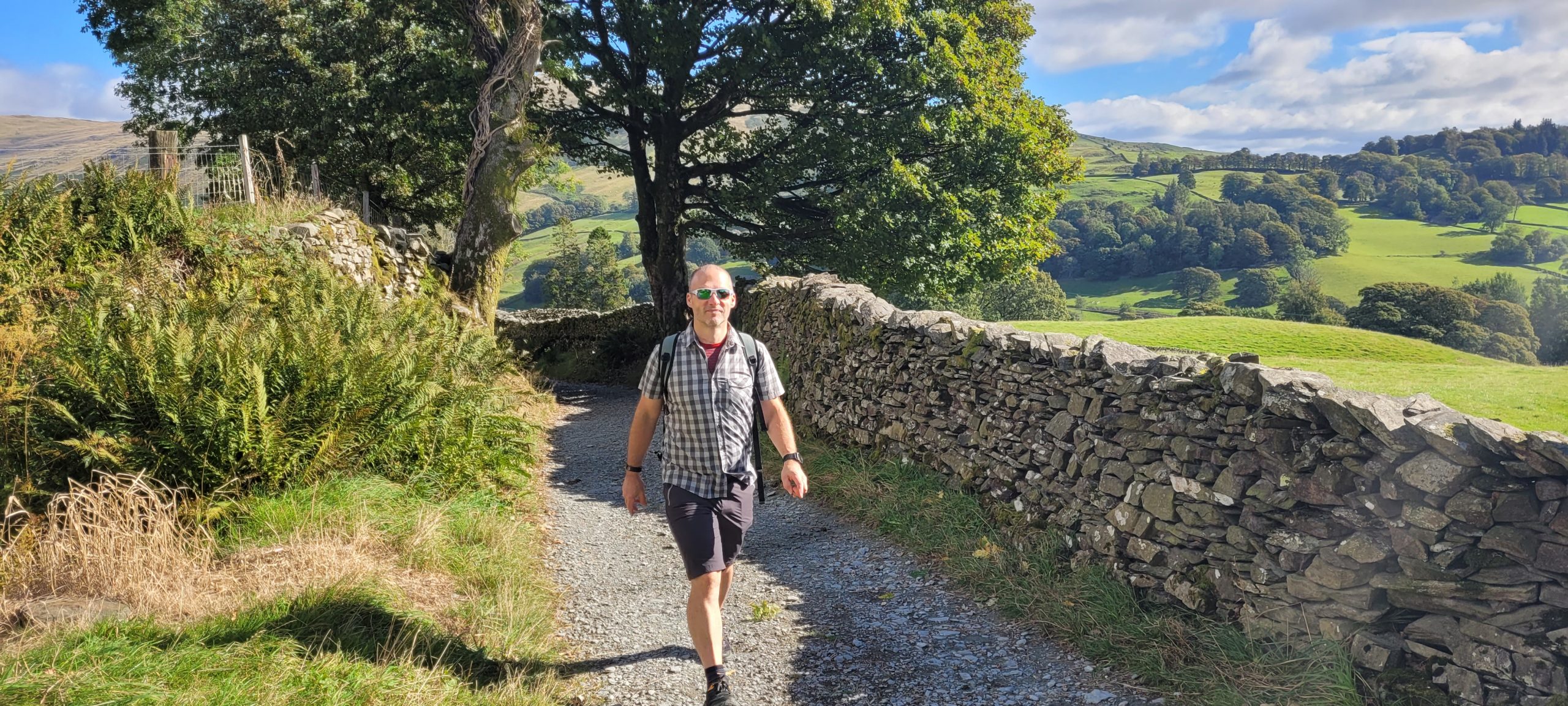
Ambleside and Windermere are really familiar to me having completed all of the 214 Wainwright summits of the Lake District, some of them many times. However, the route between these towns that this walk takes was almost completely new to me.
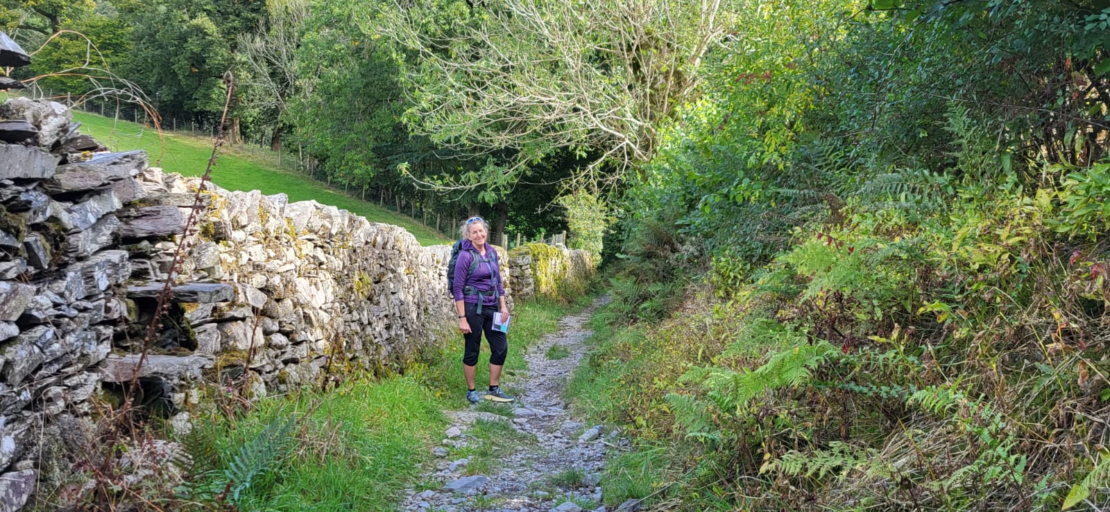
The route leaves Ambleside via a bridleway through Skelghyll Woods with amazing views over Windermere, particularly from Jenkin Crag, one of the most renowned viewpoints in Lakeland. It was a sunny day so the water was sparkling and the trees are starting to change colour for autumn. With the woodlands behind us the next stretch was over high pasture with wide reaching views, leading up to an ancient walled lane called the Hundreds Road. This is centuries old and leads down from the higher pastures known as the Troutbeck Hundreds. We followed this lane all the way to Troutbeck, a long narrow village with many historic buildings including a National Trust property called Town End which dates from the 17th Century and is open to the public.
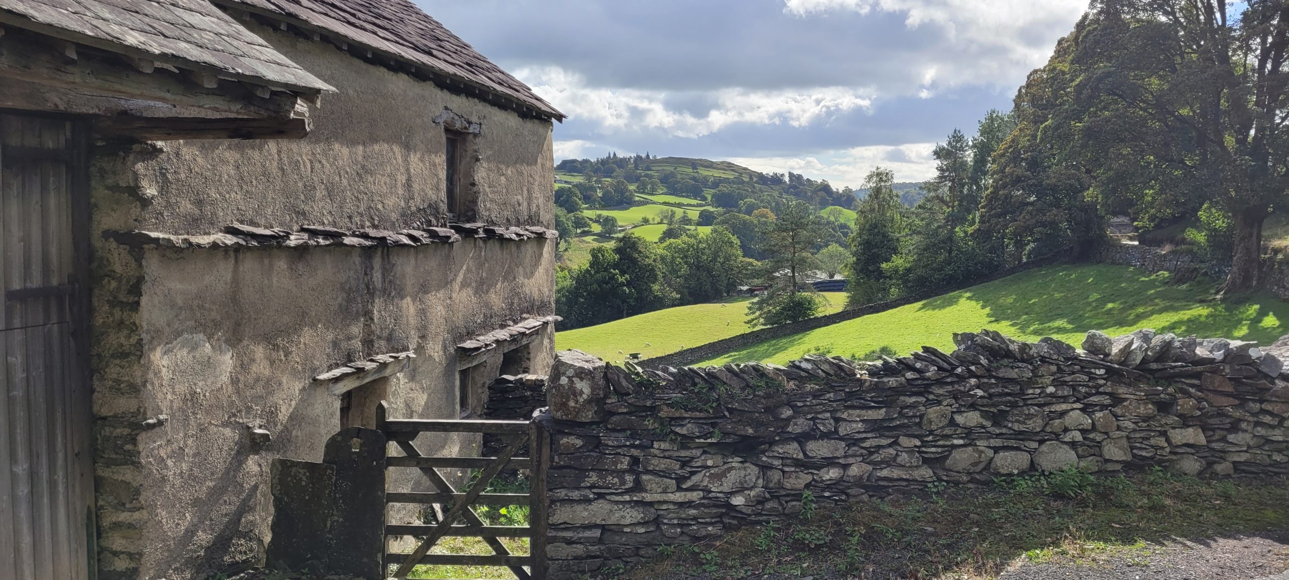
After Troutbeck there are many fields and pastures making up much of this section, and more views over Windermere and the Coniston and Langdale fells. The path was easy to follow in most places but some sections included more recent changes and I had to re-write some parts to suit the diversions around houses and farms that have been introduced.
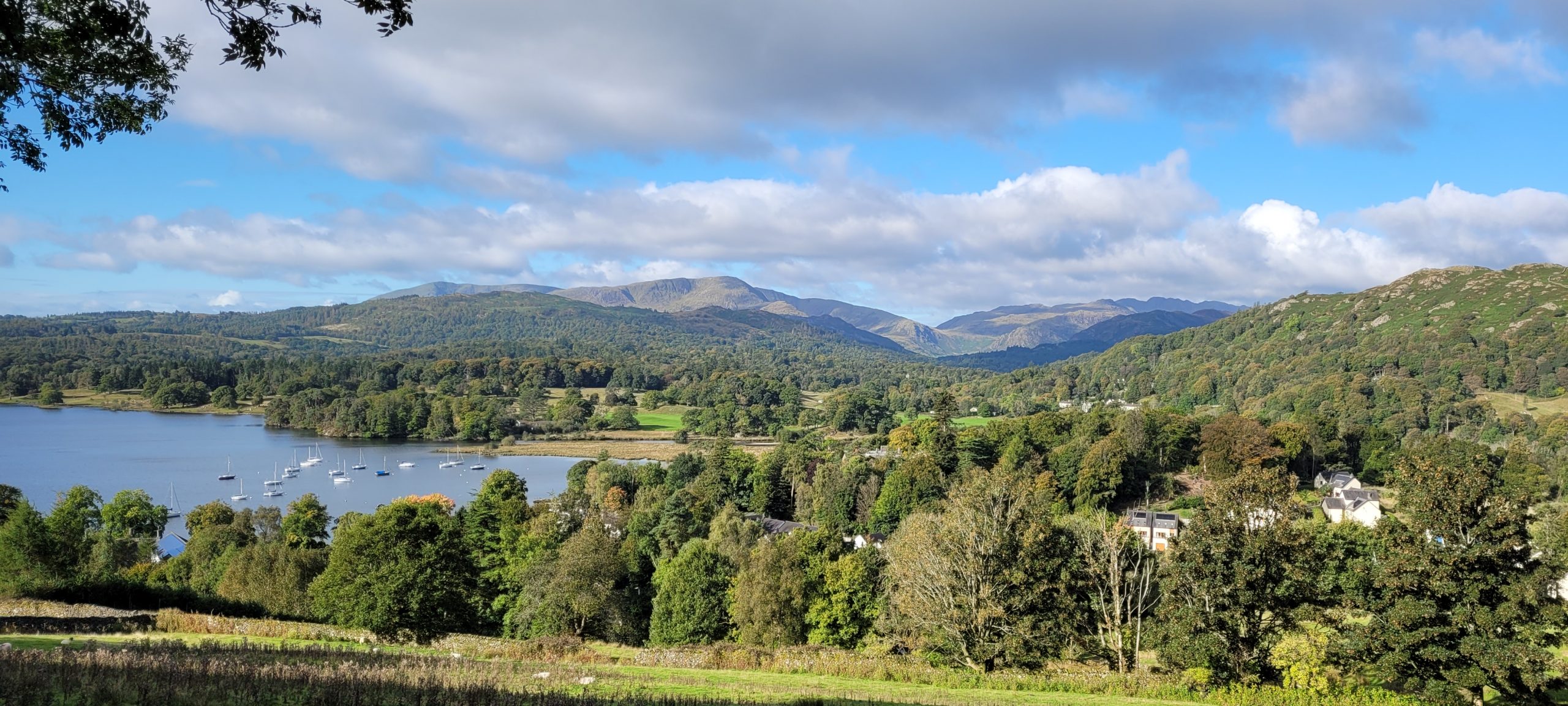
Our day ended in Windermere where we diverted from the trail and walked to Bowness on Windermere. Our itineraries don’t usually include Bowness as an overnight but it can be included if you would like to stay there, or if, like me, you are doing part of the trail or a bespoke holiday.
Tomorrow we will walk from Windermere to the market town of Kendal (famous for its Mint Cake) and I am expecting this to be different again as we leave Lakeland behind.
Day 2: Windermere to Kendal
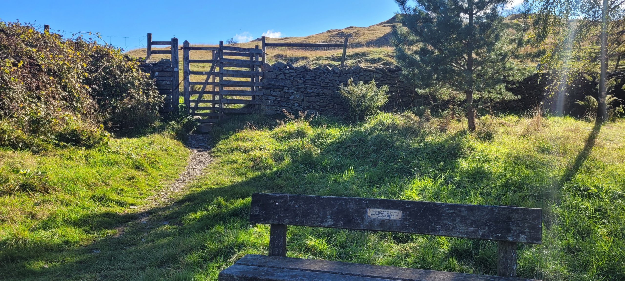
From Windermere we headed back to where we left the trail just before School Knott. After retracing our steps to warm up our legs, we headed up the fellside of School Knott for our first views of the day and a goodbye to the heart of Lakeland before heading back down to School Knott Tarn, and on to grassy tracks shared with the Dales Way for a short time.
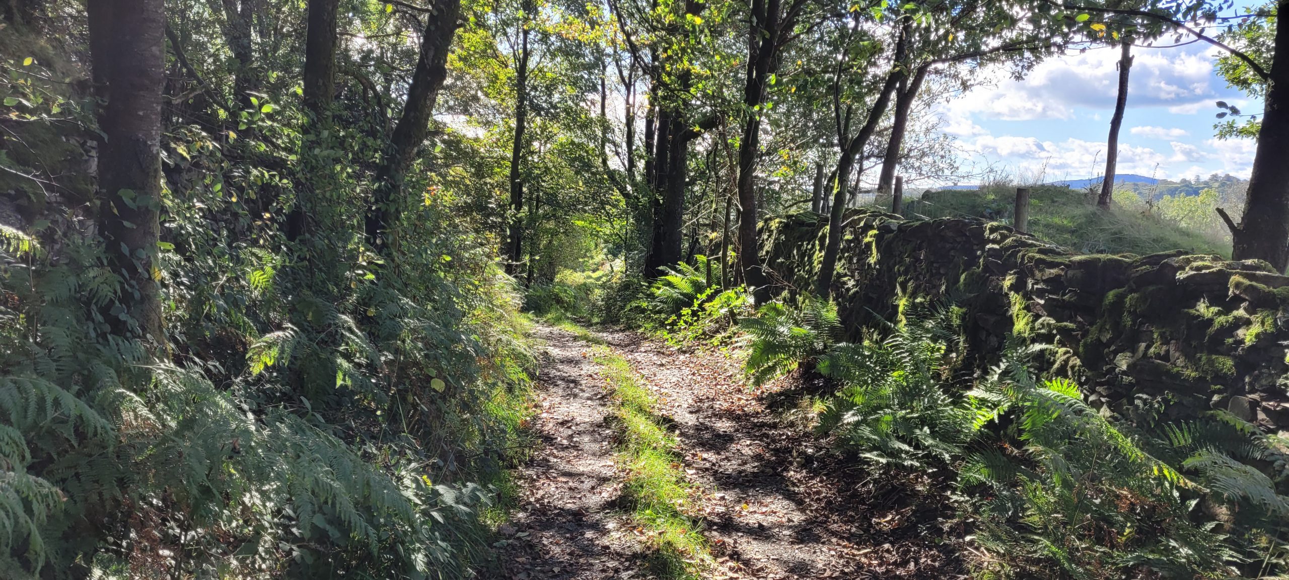
Lovely cart tracks and becks with Kingfishers led us on to more farmland with undulating pastures. Soon we arrived at the village of Underbarrow, in the Lyth Valley. A short section of road walking began here and quickly led us to a public footpath for the limestone escarpment of Scout Scar, the last climb of the day, standing between us and Kendal.
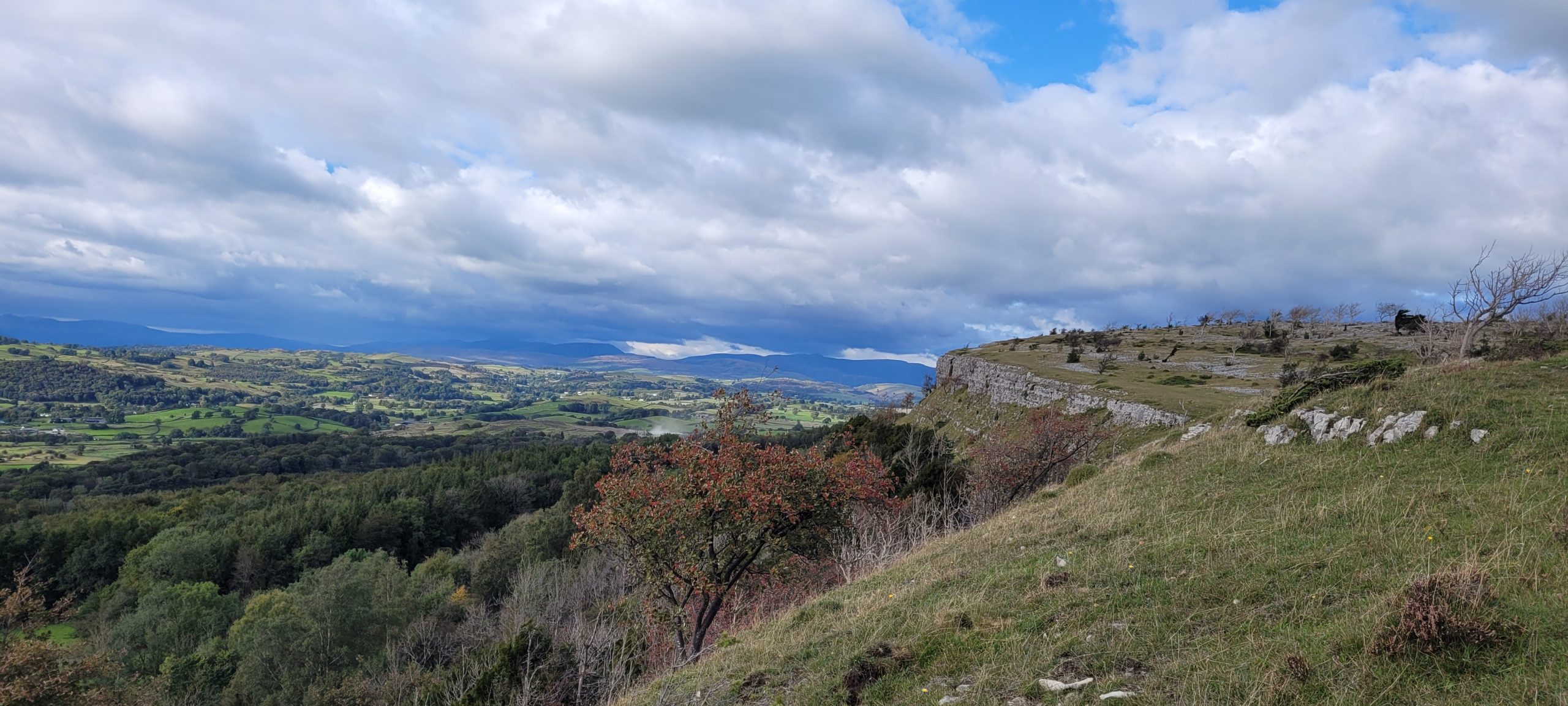
The Scar was looming above us as we approached and I have to be honest, my legs were heavy by this point and I was not relishing the climb, but it was a great path up through a farm then woodland and we were quickly on to the edge. The view is extensive and the steep western escarpment runs unbroken for several miles. Thankfully the descent down to Kendal is much gentler. After walking on the ridge for maybe a mile we turned off towards Kendal and descended into the town via the Town Hall and on to our B&B.
Day 3: Kendal to Crooklands
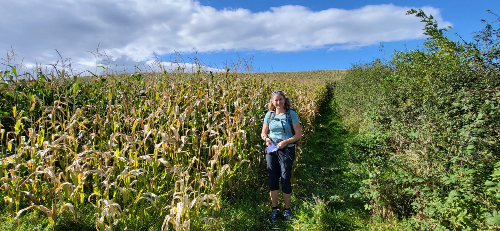
You can choose to walk all the way from Kendal to Arnside in one day with our itineraries, but I chose to split this leg at Crooklands. It’s quite slow going when you are writing route notes so this gave me an opportunity to make sure everything was clear and not rush things. It’s easier walking from Kendal to the end of the Way, starting with flat urban trails leading out of Kendal following the river, turning to rural riverside paths through fields and woodland.
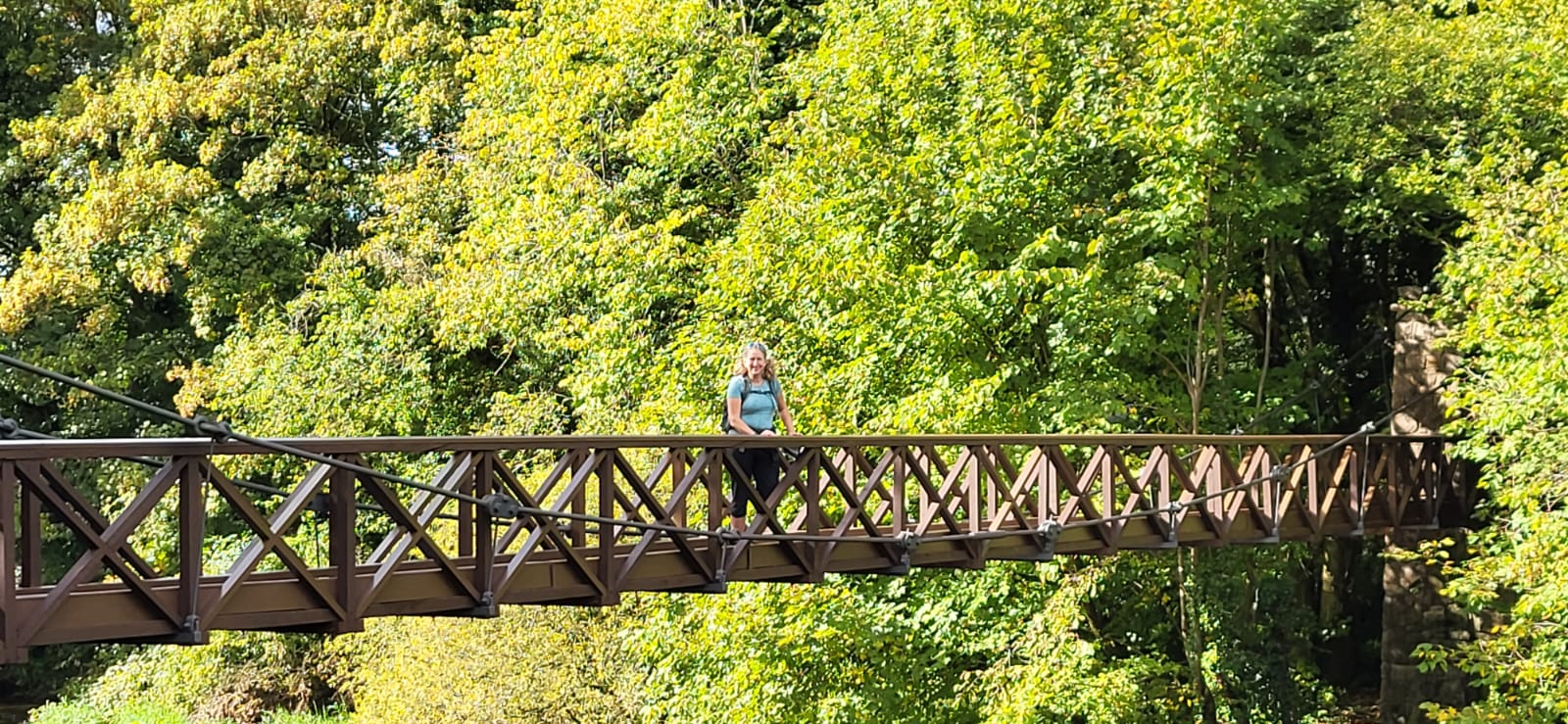
After a while we left the river and instead had our first encounter with the Lancaster Canal, at this point just a drained section. Later on we become more familiar with this waterway as it’s a constant companion for a few miles. First though is the crossing of the west coast mainline to Scotland, according to the guidebook it was a quick run across with your fingers crossed in those days. Thankfully now there is a bridge!
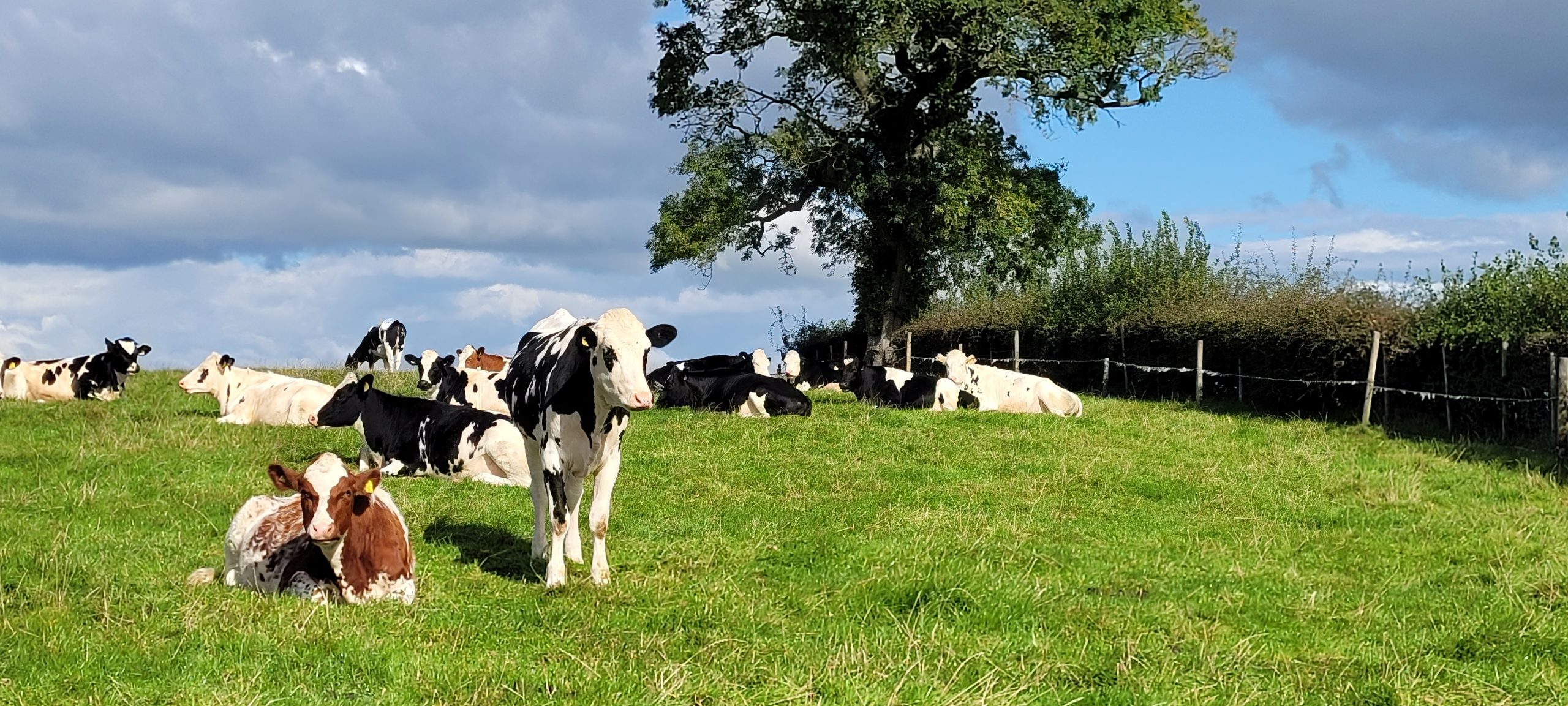
More farmland followed before we met up once again with the canal, this time full of water, for the easiest section of the whole walk to Crooklands. This last part of the day was an effortless stroll with ducks, swans and cormorants all keeping us company until we arrived at the hotel which couldn’t be much closer to the trail.
Day 4: Crooklands to Arnside
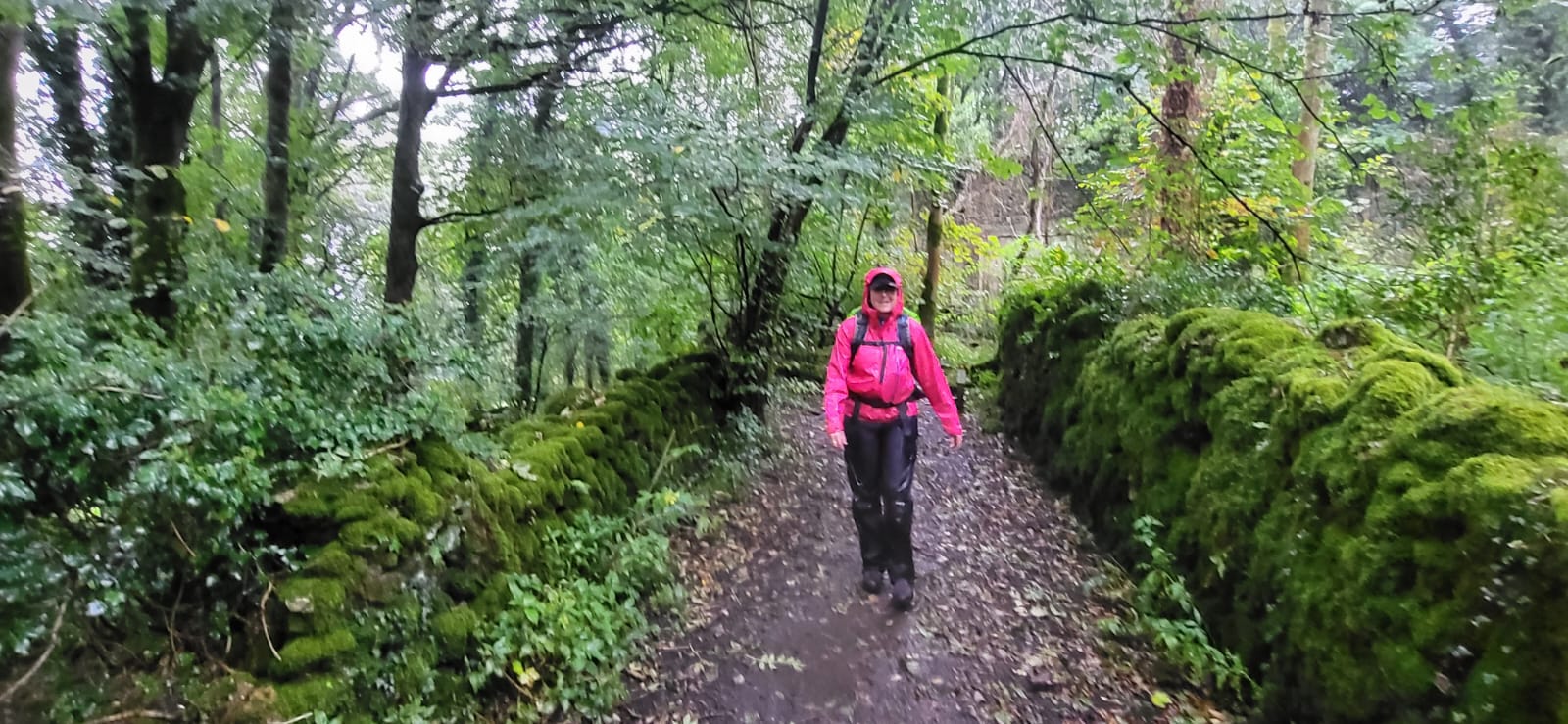
You can see from the photos up to here that we had a great 3 days of weather so far, but from here we definitely paid for that. The day started with waterproofs in the rucksack and we got off to a good start squeezing 3 miles in on the canal and crossing the M6 twice before it started raining. Waterproofs on, we continued as quickly as we could to reach the villages of Holme and Beetham via farmland.
A nice stop for coffee in the garden centre at Beetham and we were back out in the rain again, now heading for the next landmark in our day, the Fairysteps. The “steps” are a long, really narrow, cleft in a limestone cliff. There is an alternative path for those unsure or with huge rucksacks, but we opted to squeeze down the narrow, steep route and made it without getting wedged in.
Underlaid Wood followed with its limestone paths making the going slippery in the rain. There is an area of limestone pavement to see in the woods too, formed when a glacier scrapes away the overlying ground leaving a bare limestone surface which is then corroded by water leaving deep cracks.
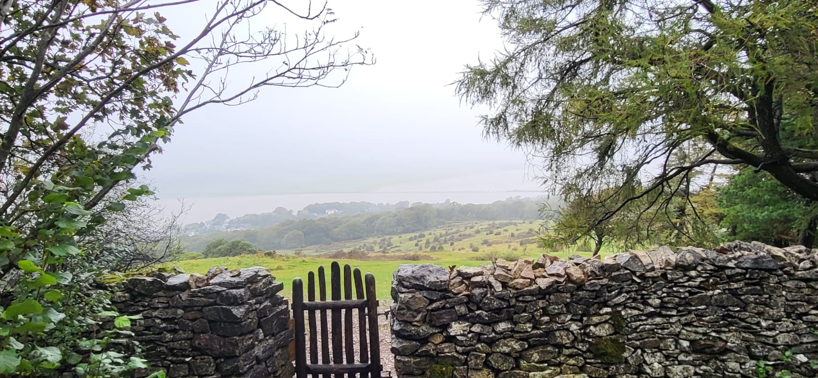
Out of the woods we felt like we were nearing the end as we crossed the coastal railway, but the route had another climb in store for us, directing us up behind the houses on the edge of Arnside then up again onto Arnside Knott, a rounded limestone hill watching over the estuary. I’m sure ordinarily the views from here are extraordinary but as it was a poor weather day, we promised ourselves we would return when next in this area to see the view properly.
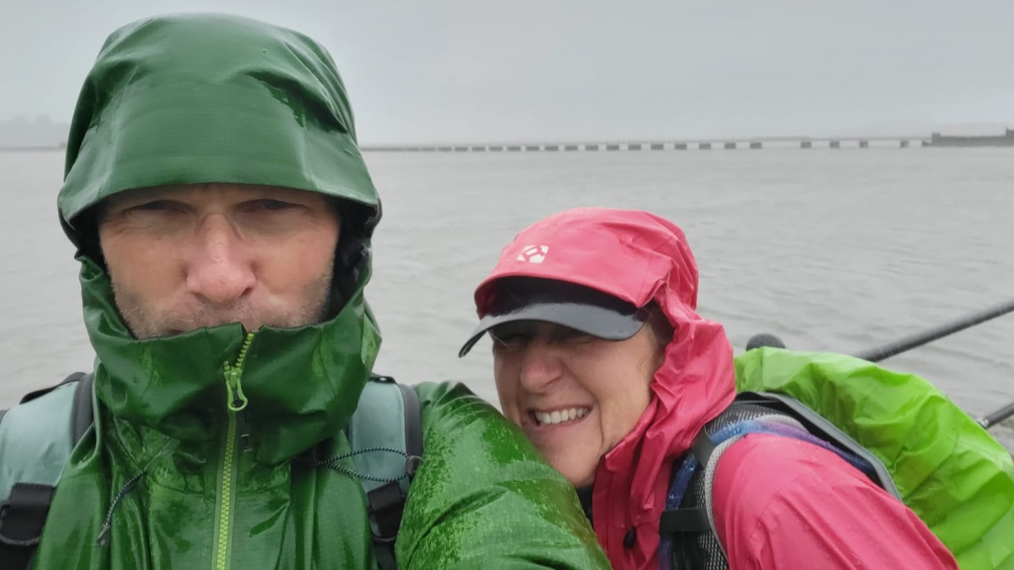
Over the top of the hill we followed the path down into Arnside and on to the promenade to find our accommodation near the pier. As it is compulsory to get a picture at the end we braved the weather on the pier and did just that, then dripped apologetically into the accommodation, where, being walker-friendly, nobody minded that we soaked the floor!
I’m really happy to have completed the walk and that I now have a full set of route notes for the Westmorland Way. If you are hoping to walk this route then I can assure you I have made the notes as straightforward as possible to help you enjoy it so you can concentrate on the walk without worrying about getting lost.
If you have any questions about the Westmorland Way then please go get in touch as I would be happy to help, email us [email protected] or call 017687 72335.